Back Entrance To Ukiah CA, In the Early Morning Sun.
[ After a while I see he is sitting down again. Then he says, "Dad?" .. "What?"
"Will I have the right attitudes?" .. "I think so," I say. "I dont think that will be any problem at all. ]
.And so we ride on and on, down through Ukiah,
. (Cont Next)
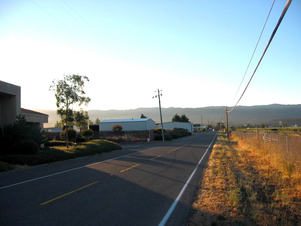
Northwest entrance to Ukiah, CA. Wikipedia says: Ukiah (/juːˈkaɪə/ yoo-KY-ə; Pomo: Yokaya, meaning "deep valley") is the county seat and largest city of Mendocino County, California, with a population of 16,607[7] at the 2020 census. With its accessible location along the U.S. Route 101 corridor, Ukiah serves as the city center for Mendocino County and much of neighboring Lake County.
Ukiah [city & county & valley] sit in an area known as the Yokayo Rancho, one of several Spanish land grants in Alta California. The Yokayo grant that makes up the majority of the Ukiah valley takes its name from the Pomo word meaning "deep valley". Ukiah being an anglicized form of Yokayo. Pomo people are the speakers of a linguistic branch of Native American people of Northern California.
Excerpt from Wikipedia. For entire Article Click Here.
. RIGHT CLICK AND SELECT NEW TAB => After Satellite Map View Comes Up, You Will See What Is Most Likely The ZMM Route Into NW Corner of Ukiah, CA. .
ClickOn The Plus&Minus To Zoom. You Can Click&Drag The Map In Any Direction, To See More Off Your Screen Edges.
.After this Satellite View comes up, the Red Pinpoint marks Henry Gurrs /\ Above /\ Photo at WayPt 473. You can also see Orr Springs Road, which has been discussed previous photos.
*************************
(Photo = 117-1744b ...... ZMM Page = 372 .... WayPt = 473w 0545ft)
