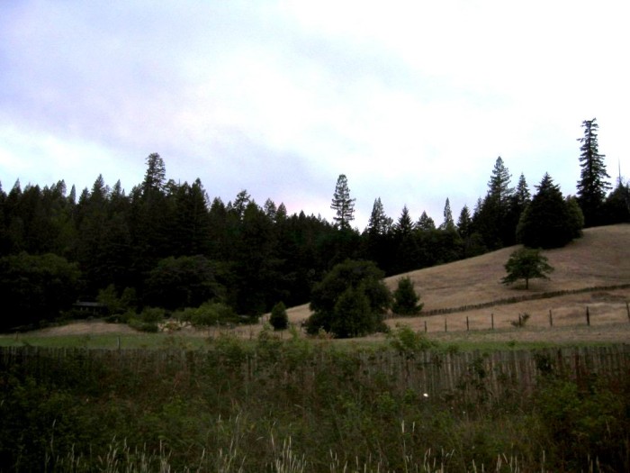
A View In The Valley Of The East Fork Big River, Just Before The Orr Springs Road, Crosses The Bridge Over The East Fork Big River.
"Whats the matter?" I ask.
"Its so different."
."What?"
"Everything. I never could see over your shoulders before."
The sunlight makes strange and beautiful designs through the tree branches on the road. It flits light and dark into my eyes. We swing into a curve and then up into the open sunlight.
Thats true. I never realized it. All this time hes been staring into my back. "What do you see?" I ask. .. "Its all different." (Cont Next)
NOTE: The Narrators "We swing into a curve and then up into the open sunlight. Metaphoric Bridge Connection brings illumination, so the Narrator has a new realization => Thats true. I never realized it.
In /\ Above /\ Photo the road foreground going east, just before the bridge crossing the river, 10460 Orr Springs Road, Mendocino County, CA.
..A) ~34.8 Road Miles East of Mendocino, CA and.
..B) ~9.5 Road Miles West of Ukiah, CA.
NOTE1: Although it is the same road, the Road Name Changes: Now On Orr Springs Road.
NOTE2: Please remember that => The road location of the /\ Above /\ Photo (also the next photo), was mentioned (and illustrated) in the TopoZone Map Discussion SECOND PREVIOUS Photo.
************************
. RIGHT CLICK AND SELECT NEW TAB => After Satellite Map View Comes Up, You will See the most likely choice for the ZMM Route on Orr Springs Road, running beside The East Fork Big Rive=> ClickOn The Plus&Minus To Zoom. You can Click&Drag Map In Any Direction, to See More Off Your Screen Edges.
.After this Satellite View comes up, The Red Pinpoint Marks Henry Gurrs /\ Above /\ Photo at WayPt 470. Your see Orr Springs Road And The East Fork Big River, which have been discussed previous, as well as Forthcoming Photos..
SATTELITE VIEW NOTE:
Although mostly not enough to notice, it is a peculiarity of the Google Satellite View, to show the GPS Coordinates of my Red Pinpoint Marker slightly different from what is supplied to it, at my WayPt = 470w, which was at the roadside.
.But in the /\ Above /\ Photo, the Red Pinpoint Marker is considerably away from the road. This is most likely because my (Henry Gurrs) GPS readings were thrown-off, due to the presence of lots of surrounding trees and the effect of this rather deep valley.
************************************
(Photo = 117-1730b ...... ZMM Page = 372 ...... WayPt = 470k 0610ft)