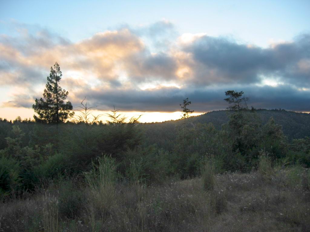
Continued From Sunset Orange Mentioned Previous Photo, But Now Looking West And Also See Sunset Orange
The Pacific Ocean Is Some 30 Miles Beyond Those Distant, High Ridges.
More trees and shrubs and groves. Its getting warmer. Chris hangs onto my shoulders now and I turn a little and see that he stands up on the foot pegs.
"Thats a little dangerous," I say.
"No, it isnt. I can tell."
He probably can. "Be careful anyway," I say. (Cont Next)
*************************
PLEASE REMEMBER THE LONG TOPOZONE DISCUSSION ON THE PREVIOUS PHOTO, AND
THE FOLLOWING IS AN ABBREVIATED DUPLICATE FROM REVIOU PHOTO:
*************************
EXPLANATION: As We Travel East On This Backcountry Comptche Ukiah Road (Towards The ZMM Route Town Of Ukiah, CA)
We Leave Melbourne, CA (WayPt = 468w ~0435ft), And The Road Does A Twisty Climb (~+400 Ft) To A Ridge Top (1226 Ft Elevation), Where The /\ Above /\ Photo Came Into View!
Google Map Gives Address as Ukiah, CA.
..A) ~32.1 Road Miles East of Mendocino, CA and.
..B) ~12.2 Road Miles West of Ukiah, CA.
*************************
. RIGHT CLICK AND SELECT NEW TAB => After Satellite Map View Comes Up, You Will See The ZMM Route From Comptche, CA, Going East To (the North of) Montgomery Woods State Natural Reserve. ClickOn The Plus&Minus To Zoom. You can Click&Drag Map In Any Direction, to See More Off Your Screen Edges.
.After this Satellite View comes up (may have to ZOOM OUT to see), The Larger Red Pinpoint Marks Henry Gurrs /\ Above /\ Photo location at WayPt 469. You can see & read Comptche Ukiah Road, and see the Twisty Climb to the Red Pinpoint
Forthcoming Photos will mention Orr Springs Road, which is the same road as the Comptche Ukiah Road, with just a name change. Of course this road goes by Orr Hot Springs Resort, a topic mentioned in previous and following photos.
*************************
(Photo = 117-1726b ...... ZMM Page = 371 .... WayPt = 469w 1226ft)
