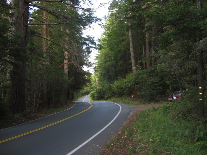
The Road Twists and Turns Through the Trees With Surprises Around Each Corner.
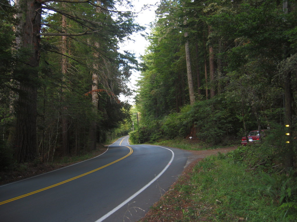
The Crisis Between Narrator And Chris Now Triumphantly Resolved, The Mood Is Totally Joyous, As The Cycle Responds To Each Curve And They Experience The Beauty Of All The Flowers!
(Start Chapter 32.) As we ride now through coastal manzanita and waxen- leafed shrubs, Chriss expression comes to mind. I knew it," he said.
The cycle swings into each curve effortlessly, banking so that our weight is always down through the machine no matter what its angle is with the ground. The way is full of flowers and surprise views, tight turns one after another so that the whole world rolls and pirouettes and rises and falls away. (Cont Next)
Three miles East of Mendocino, CA. After the Mendocino Business District, we have turned to the East off of California Coastal Highway Rt-1
onto the Comptche-Ukiah Road. Although not specified by the Narrator, there are several reasons why this road is very likely the one Author Robert Pirsig took back in 1968 =>. 1) Going South from Caspar, CA it is the first available road inland where sun and heat (no cold fog) would be available. 2) It appeared on my Rand-McNally Map as a major through road, and hence likely would be on the Narrators Map of the area. 3) It goes SE, a direction they would want to go. 4) This road connects to the only other available high speed thru road, US-101, that directly connects to Narrators San Francisco. 5) It connects directly and nicely to Ukiah, the next Narrator mentioned town, as well as five subsequent Narrator mentioned towns. 6) The Comptche-Ukiah Road has the Orr Springs Resort, which has several off the road shaded resting places, and back in 1968 might have had picnic tables visible from the road. 7) And fitting the ZMM Narrative, these possible picnic table locations are in a ravine off to one side of the stream valley. 8) The Orr Springs Resort, appropriate to the travel time of the narrative, is some 36 miles from Point Cabrillo Rd, Caspar, CA.
Although other possible routes would have similar scenery, this route does well fit the Narrators scenery and landscape descriptions.
*************************
(Photo = 117-1716 ...... ZMM Page = 370 ...... WayPt = 465w 0591ft)