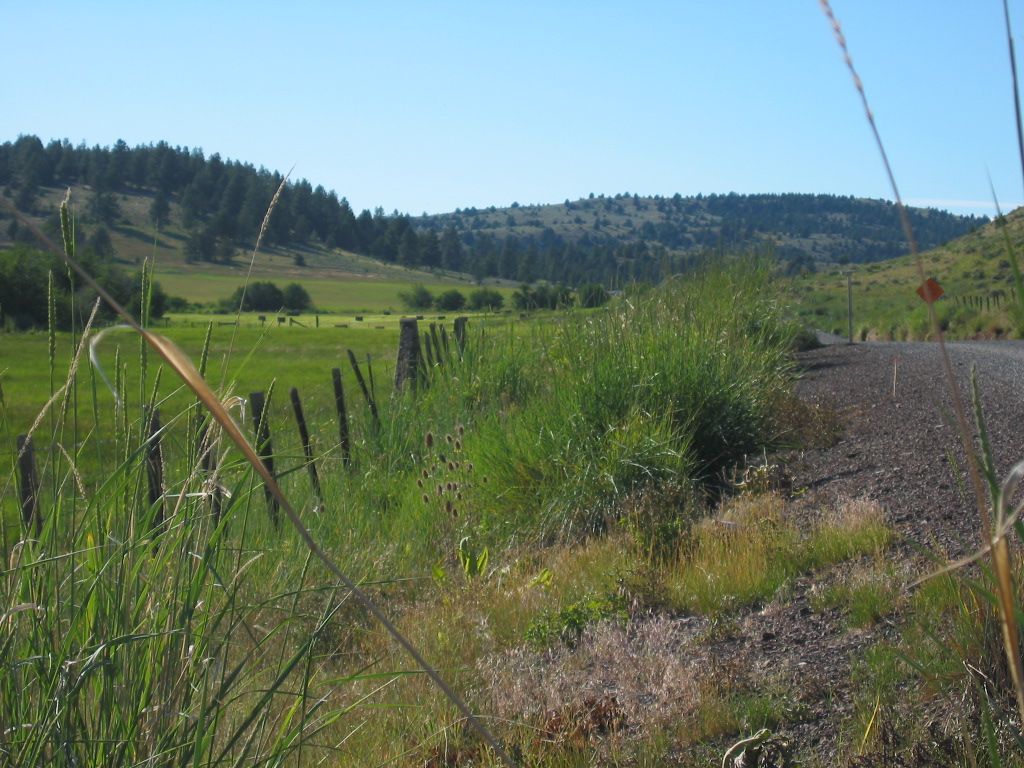
Much Open Space & Green Nature Is Seen As We Approach The Summit Of The Road West.
.Despite The Fact That Most Of This Central Oregon Wide Open Countryside Is Hot Dry Country Were Going Through , Here Beside The Road Is A Low Enough Vale For Rain Water To Collect, Making A Small Green Pasture Surrounded By Abundant Green Trees.
.A Satellite View Shows This Vale Is Part Of A Longer Tree-Line Drainage Path That Runs Several Miles, Both Up And Down Stream, Possibly With Summertime Running Water.
[ This motorcycle seems to be running a little hot . . . but I suppose its just the hot dry country were going through ]
A Mountain Vale Three Miles Prior To Keyes Creek Summit Pass, OR.
.After turning West from Rt-19 Junction, at John Day River, US-26 climbs steadily up along the above mentiones tree-lined stream into hills at Keyes Creek Summit Pass (4,369 ft).
.And although the ZMM Narrator omits mention of some 32 miles of travel from Dayville, OR to the next town of Mitchell, OR, I have added the /\ Above /\ Photo, and 2 more, to show the scenery along the way..
********************
(Photo = 112-1298c ...... ZMM Page = 290 ...... WayPt = 344 4038ft)
