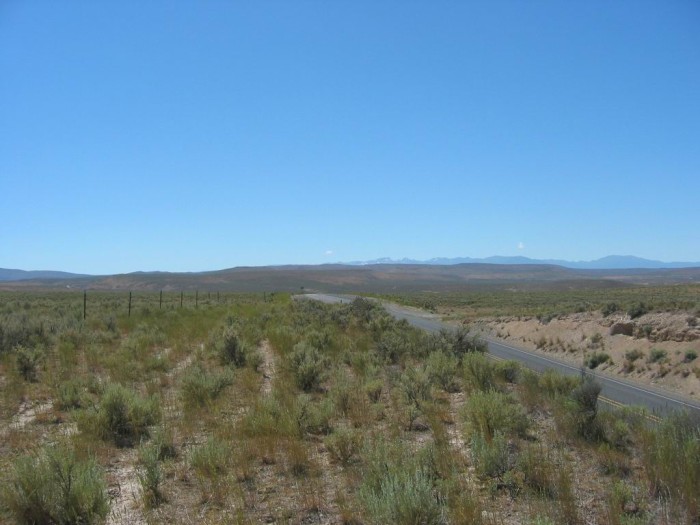
This Is What Northeastern Oregon Looks Like In Places Where There Is No Available Water for Irrigation.
..The ZMM Narrators Mind Continues to Ruminate On
.A) The Rubàiyat of Omar Khayyàm AND
.B) These Fragments
Of Memory
.How did that go? I dont know. I dont even like the poem. Ive noticed since this trip has started and particularly since Bozeman that these fragments seem less and less a part of his memory and more and more a part of mine. Im not sure what that means . . . I think . . . I just dont know.
....I think theres a name for this kind of semidesert, but I cant think of what it is. No one can be seen anywhere on the road but us.
.... Chris hollers that he has diarrhea again.(Cont.Next)
~23 Miles WestSouthWest of Ox Bow Dam, Which Is At => ID & Oregon Border.
..****************.
What The ZMM Reader Should Know & Understand About the Snake River, Before AND After It Passes Through Hells Canyon.
. Excerpt From Wikipedia, Which Has 24 Good Photos, & Three Maps. (Both the Photos & Maps, Right Click Open In New Tab, THEN Can Click On To Make Nicely Larger.)
. The Snake River is a major river of the greater Pacific Northwest region in the United States. At 1,078 miles (1,735 km) long, it is the largest tributary of the Columbia River, in turn the largest North American river that empties into the Pacific Ocean. The Snake River rises in western Wyoming [South of Yellowstone National Park], then flows through the Snake River Plain of southern Idaho, the rugged Hells Canyon on the OregonIdaho border and the rolling Palouse Hills of Washington, emptying into the Columbia River at the Tri-Cities, Washington.
.The Snake River drainage basin encompasses parts of six U.S. states (Idaho, Washington, Oregon, Utah, Nevada, and Wyoming) and is known for its varied geologic history [such as =>] The Snake River Plain was created by a volcanic hotspot which now lies underneath the Snake River headwaters in Yellowstone National Park. Gigantic glacial-retreat flooding episodes that occurred during the previous Ice Age carved out canyons, cliffs and waterfalls along the middle and lower Snake River. Two of these catastrophic flooding events, the Missoula Floods and Bonneville Flood, significantly affected the river and its surroundings.
.By the middle 19th century, the Oregon Trail had become well established, bringing numerous settlers to the Snake River region.
.[For the Emigrant Settlers traveling The Oregon Trail, the above mentioned Snake River Plain, had good water & fodder, and was comparatively level expeditious travel for ~300 miles. ]
*************************
(Photo = 111-1184a ...... ZMM Page = 271 ...... WayPt = 299i ~2534ft (Photo At = WayPt = 301w 2970ft)