Here the Green Irrigated Valley Floors Are Surrounded By Hills Of Baked, Dry Brown,
.Pretty Much Fits The Narrators Passage Below.
.[ Farther on we cross a dam and leave the canyon into some high semidesert country. ]
. This is Oregon now. The road winds through a landscape that reminds me of northern Rajasthan, in India, where its not quite desert, much piñon, junipers and grass, but not agricultural either, except where a draw or valley provides a little extra water.
.... Those crazy Rubàiyat Quatrains keep rumbling through my head.
.something, something along some Strip of .. Herbage strown,
.That just divides the desert from the sown,
Where name of Slave and Sultan scarce is known,
And pity Sultan Mahmud on his Throne . . .
.That conjures up a glimpse of the ruins of an ancient Mogul palace near the desert where out of the corner of his eye he saw a wild rosebush . . .
. And this first summer Month that brings the Rose . . . (Cont.Next)
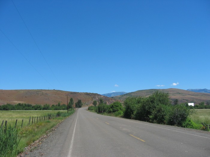
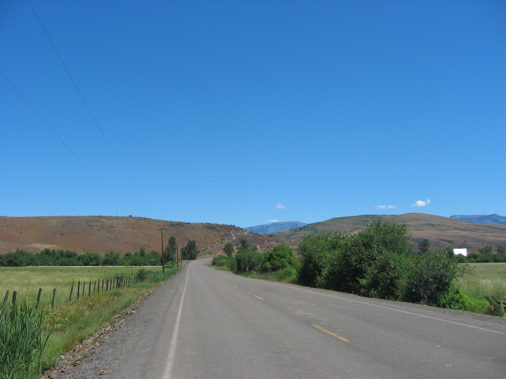
~Fifteen Miles WestSouthWest of Ox Bow Dam, Which Is At => ID & Oregon Border. The not quite desert,is seen in the /\ Above /\ Photo, and seen in many of my photos forthcoming, which were taken along this road.
.Also seen is green & agriculture where draw or valley provides a little extra water, This is usually seen in low flat valley floors of my photos, like /\ Above /\ Photo on BOTH sides of the road.
..****************..
NEW TOPIC: These Narrator Inserted Interludes of => The Rubàiyat of Omar Khayyàm Seem To Have No Purpose.
.So, Why Does The Narrator Keep Coming Back To Those crazy Rubàiyat Quatrains?
.By now you should have noticed, throughout ZMM that => The Narrator only introduces an idea (or an observation) when it has an illustrative or poetic support, connecting with the Chautauqua at hand.
.So Please Start Pondering This Question (Bold Above), And Send Me Your Ideas.
.The Entire Poem And A Bit Of Its History Are At =>: Right Click & Open In A New Browser Frame, For The Page => The Rubàiyat of Omar Khayyàm , posted by the Iranian Cultural Organization (ICO). At The University Of California San Francisco.
..****************..
The ZMM Narrator Says They Cross A Dam, And The Next Sentence Says They Are In Oregon.
.But This Leaves Out Much ZMM Route Travel Distance, & Some Fantastic Travel Scenery, You Should Be Aware Of =>
,,Looking at your Road Atlas, or Use Satellite View Blue Link Below. Please see =>
A) Zoom out, and watch upper left till, you see the Water of the Snake River or The Brownlee Dam Reservoir Lake, Then =>
B) Follow Rt-71 North along the water, till you see it End at a Bridge, which crosses over to Oregon. Continue on over the bridge =>
C) Now in Oregon, continue following the Brownlee Oxbow Highway, Northeast: The road runs along the water of the Snake River, which here is the notorious Hells Canyon. This water will get wider and wider, because its now the Reservoir Lake of the Oxbow Dam.
D) Continuing Northeast, you will see a secondary road loop, from which the traveler can see the Oxbow Dam.
E) North of the Oxbow Dam< you see the River Do a Tight-U Turn. This is the Oxbow~
F) The Brownlee Oxbow Highway, continues into town of Oxbow, OR, and soon thereafter junctions with Rt-86 to Richland, OR, and then Baker City, OR.
AFTER This Satellite Vu Comes Up, You Can See The Roads A) thru E Discussed Above.
..****************..
Excerpt Wikipedia Oxbow Word Origin Etymology.( Has Photo of the Ox Yoke with two Oxbows Inserted.).
. An oxbow is a U-shaped metal [or wood] pole
that fits [around] the underside and the sides of the neck of an ox or bullock. A bow pin holds it in place, [into a larger formed wooden ~beam].
.The term "oxbow" is widely used to refer to a U-shaped meander in a river, sometimes cut off from the modern course of the river that formed it. [[The word (and idea) of Oxbow goes back to the 1400s, before most people could read (or know the alphabet). This is because people who know the alphabet would originally call this shape a U-Shape!! ]]
..****************..
THE NEXT PHOTO PRESENTS =>
. What The ZMM Reader Should Know & Understand About the Snake River, Before AND After It Passes Through Hells Canyon.
*************************
(Photo = 111-1178 ...... ZMM Page = 271 ...... WayPt = 299x 2534ft)