Ever Since Lolo, MT, the Main Road Has Been US-12, Which We Now Leave,
And On Rt-13, Turn From the Lochsa River, and Follow a River Side-Branch Upstream.
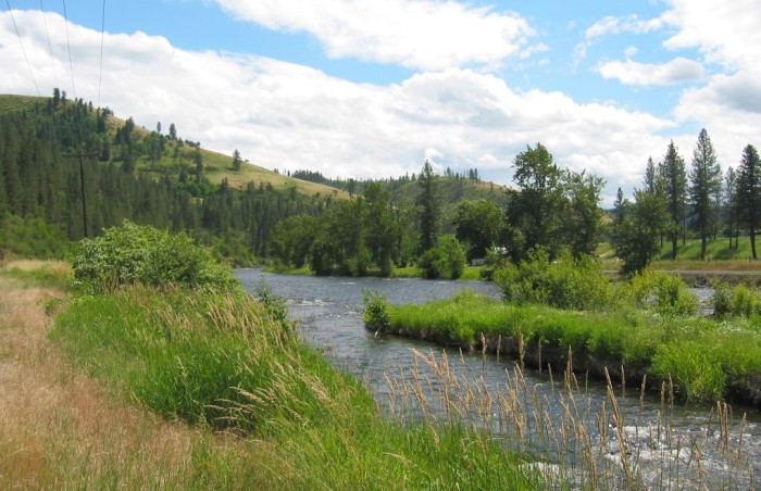
.Highway 13 follows another branch of our river but now it goes upstream past old sawmill towns and sleepy scenery. Sometimes when you switch from a federal to a state highway it seems like you drop back like this in time. Pretty mountains, pretty river, bumpy but pleasant tar road . . . (Cont. Next)
South Fork Clearwater River, just under 5 miles South of Kooskia, ID. (GPS = 46.07629 -115.97532 )
.Click Here For Satellite View Of Above Photo, At WayPt = 274w
*************************
(Photo = 110-1090c ...... ZMM Page = 258 ...... WayPt = 274w 1388ft)