Clearwater Battlefield Site with the Clearwater River in the Background. (See Below For Why No ZMM Town Photo For This Location.)
.old buildings, old people on a front porch . . . strange how old, obsolete buildings and plants and mills, the technology of fifty and a hundred years ago, always seem to look so much better than the new stuff. Weeds and grass and wildflowers grow where the concrete has cracked and broken. Neat, squared, upright lines acquire a random sag. The uniform masses of the unbroken color of fresh paint modify to a mottled, weathered softness. Nature has a non-Euclidean geometry of her own that seems to soften the deliberate objectivity of these buildings with a kind of random spontaneity that architects would do well to study. (Cont. Next)
South Fork Clearwater River, just under 5 miles South of Kooskia, ID. Having been there, I can confirm that the town of Kooskia exactly fits the Narrators description. Actually I remember, while parked on the main street, I read and reread this passage, pondering which buildings to photograph.
At that time, I was afraid that that any picture I would take would be too depressing and uncomplimentary, so no photos were taken. There were other reasons, such as forgetting to think again, shouldnt I just take some photos, just in case.
.
.But, you can see views along the highway through this area, by going to Blue Link of Previous Photo, and click on Left Side Panel, which Upper Left click on, will give you Google Street View. You can then GSV Drive North to views along the highway through the Town of Kooskia, ID.
*************************
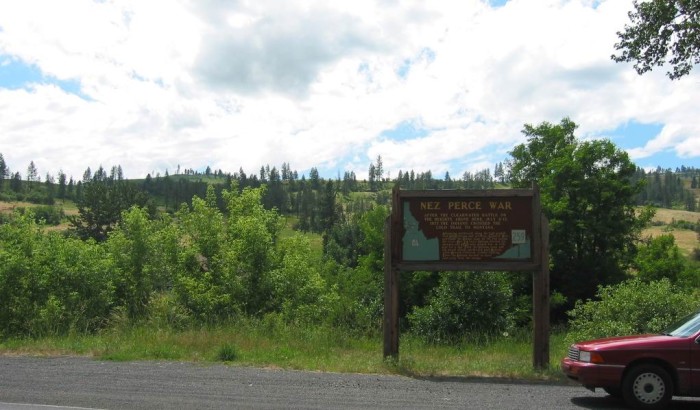
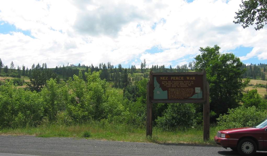
(Photo = 110-1088c ...... ZMM Page = 258 ...... WayPt = 274w 1388ft)