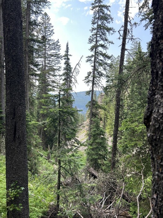
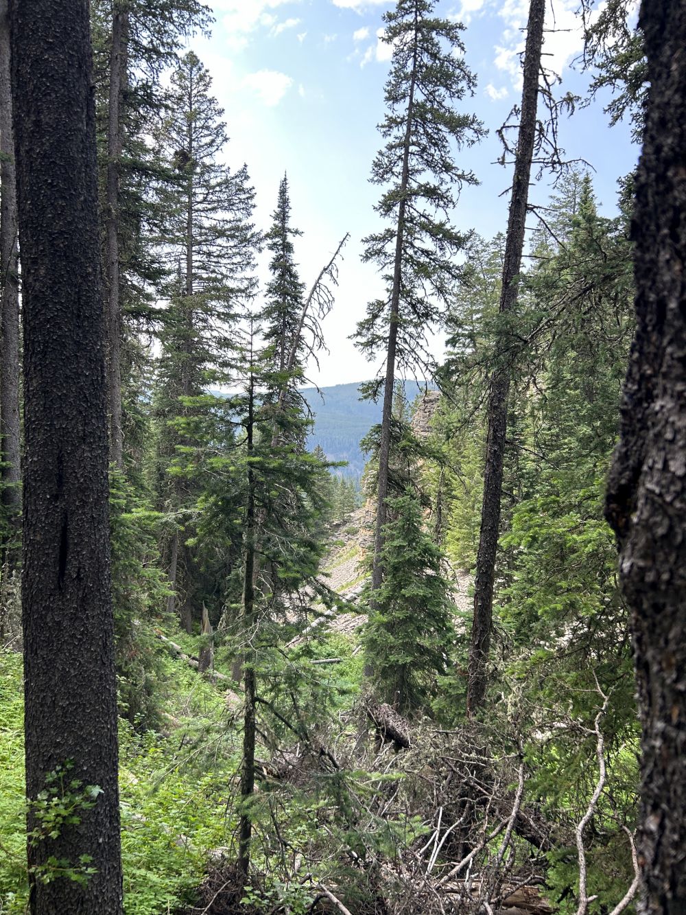
Chris And The Narrator Have Climbed High Enough That They Can See The Other Side of the Canyon.
A real understanding of Quality doesnt just serve the System, or even beat it or even escape it. A real understanding of Quality captures the System, tames it, and puts it to work for ones own personal use, while leaving one completely free to fulfill his inner destiny.
Now that were up high on one side of the canyon we can see back and down and across to the other side. Its as steep there as it is herea dark mat of greenish-black pines going up to a high ridge. We can measure our progress by sighting against it at what seems like a horizontal angle.
Climbing The Side Of Fox Creek Canyon, Gallatin National Forest, MT.
SIDE NOTES:
.
.Free Download For An Installed Computer APP You Might Want To Use =>
..In Your Computer, An Installed Google Earth Pro, Will Show ~SAME Satellite Views (As The Above Blue Link), But With MANY ADDED VIRTUES !!
.After Google Earth APP is Downlloaded & Installed: Then when GoogleEarth, comes up on your computer screen (just like the above Google Map Satellite View), you can either search or ClickDrag, to find what you are looking for, such as => Bozeman, MT. or =>A Ridge At Mount Blackmore's West Flank!
.A) An especially nice feature => The GoogleEarth Display somewhat reveals the 3D View of these mountains, by manually doing a Clk&Drag of the landscape!
..B) GoogleEarth, is one of the best (and free) GPS Data > Map Display APPS,
..C) AND The Internet Download and Installation of this Computer Application, is relatively easy and reliable.
..D) Once GoogleEarth is installed in a persons computer, they can Import the GPS Coordinates, from their Handheld GPS Unit, or other listings, such as are in CalTopo.
..E) Once a persons GPS Coordinates are imported, GoogleEarth does an excellent job of displaying these GPS WayPoints, for example, added to the Mountain Terrain View !!
..F) AND there are many other Tools, Adds: and Map Layers plus => Many other nice features, that you will eventually want and use!
..G) GoogleEarth > Tools > Ruler > Can give you point-to-point (straight line) travel distances in miles. This is an especially useful Tool.
. Heres What You Have To Do =>
GoogleEarth > Top > Tools, where you can select Ruler, which in turn allows you to mouse-click-mark two points on your Trail View.
. With more clicks you get the point-to-point (straight line), travel distance miles, which are (straight line), shown on your trail map.
.AND you can save successive such straight lines to show a map of a complete Mountain Climb, all of which is added to the (somewhat) 3D.View of These Mountains. Naturally the 3D.View includes the Satellite Image, which shows the trees, rocks, streams, rivers, roads, & towns!
.****************.
.
Henry Gurrs Steps =>To Learn How I Use GoogleEarth => Right Click & Open In A New Tab.
.Then AFTER this Photo Comes Up => Start reading at
. For Persons Who Which To Know More =>
For the above you must (free) download and installed in your computer
. Great Views. Try It! It Downloads & Installs Fast &Easy, Comes Up Quickly And Is Lots Of Fun!
******************..
(Photo = IMG_0112 Resize1000x1333.JPG ...... ZMM Page = 193 ...... Photo Simulate WayPt = N+C 10ii ~7150ft = 5.6 mi fm DeWeese.)