Is This The Place Along the Road Were the Narrator and Chris Could Have Rested?
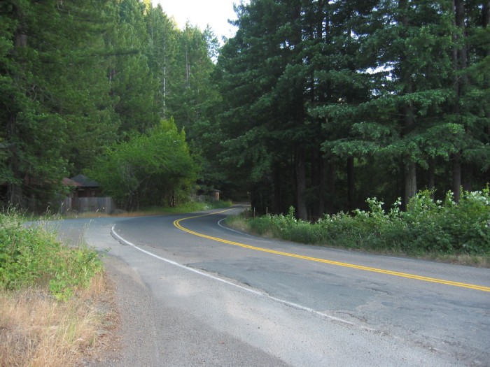
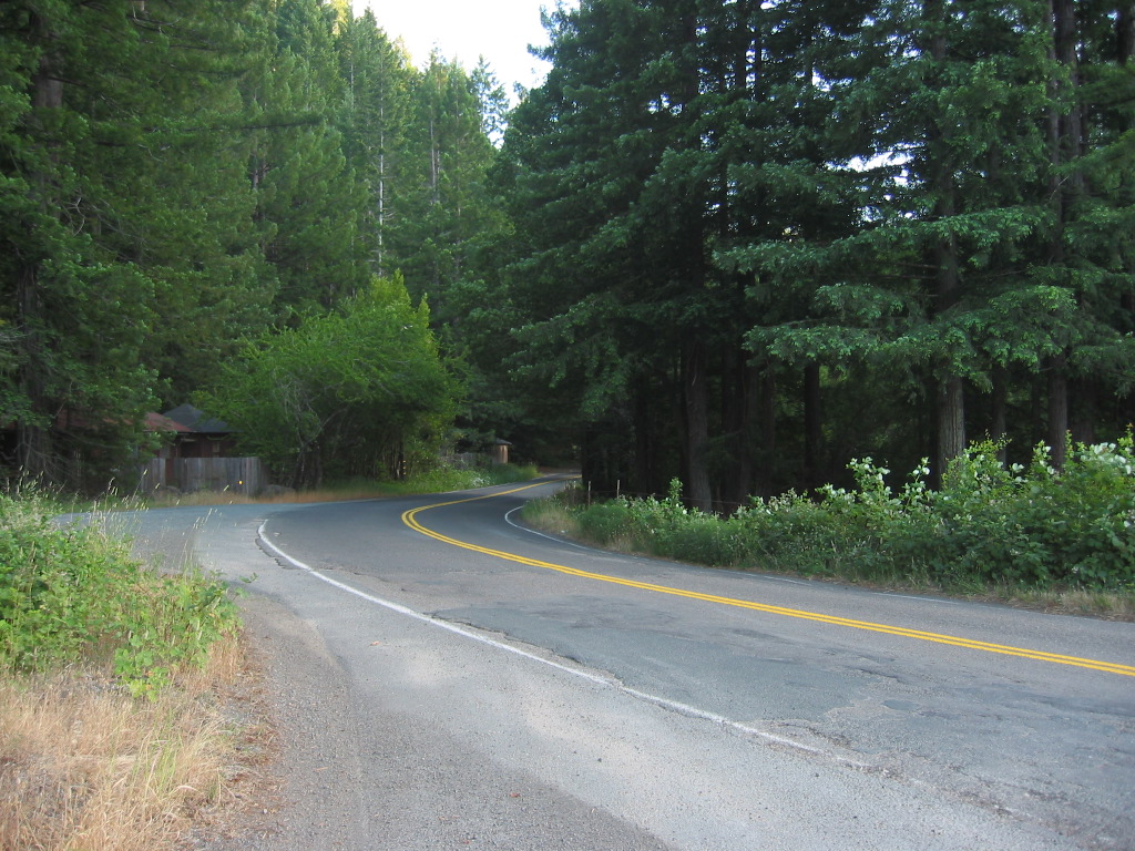
I begin to feel drowsy and in a small ravine ahead I see a turnoff and a picnic table. When we get to it I cut the engine and stop. (Cont Next)
The /\ Above /\ Photo Is Along The Comptche-Ukiah Road, At Melbourne, CA.
..A) ~11.0 Road Miles East of Mendocino, CA and.
..B) ~33.3 Road Miles West of Ukiah, CA.
. As I Traveled This Backcountry Road Towards The ZMM Route Town Of Ukiah, Ca => About Midway I (Henry Gurr), Started To Look For Chris & Narrators Possible Resting Places And/Or Picnic Tables.
The place pictured /\ Above /\ was a quiet, well off the pavement, and a good place for me to rest in the shade. But it was not a ravine, or a park, nor did it have any picnic tables.
.Using TopoZone Map (Link In Forthcoming Photo) => The only apparent place along the road where there is a small ravine visible from the road and just possibly might have had a 1968 picnic table , was/is "Orr Hot Springs", by road ahead. Orr Springs, is approximately 36 road miles from the Point Cabrillo Dr Sharp Switch Back, an appropriate distance to fit the ZMM narrative. These details will be shown in Forthcoming Photos.
NEW TOPIC: Both the Comptche-Ukiah Road and Orr Hot Springs come up high, as Favorite Scenic By-Ways in Google Searches.
. RIGHT CLICK AND SELECT NEW TAB => After Satellite Map View Comes Up, You Will See The ZMM Route FROM Caspar, CA (Upper Left) TO Ukiah, CA (Lower Right). ClickOn The Plus&Minus To Zoom. You can Click&Drag The Map In Any Direction, To See More Off Your Screen Edges.
*************************
(Photo = 117-1722 ..... ZMM Page = 371 ...... WayPt = 470i1 ~0700ft. Photo at 467w 0679ft)