After The ZMM Route Leaves Grants Pass, OR, It Travels On The Redwood Highway Through Some 40 Miles Of Oregon Lower Altitude Scenery.
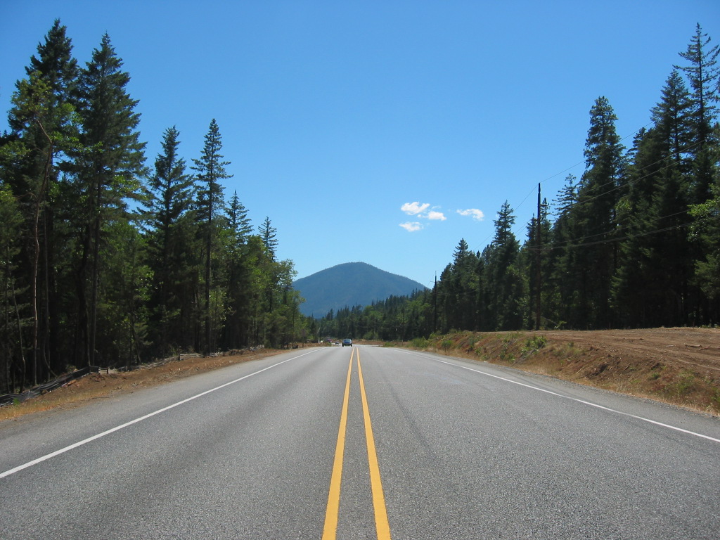
The Above Photo Shows Scenery Along US-199, 16 Miles SW Of Grants Pass, OR.
US-199 Will Eventually Climb Up To A High Mountain Pass.
[Were packed and out of the motel at just about check-out time] and are soon into the coastal redwood forest,
. > (Cont .Next)
On US-199, 3 miles Southwest of Wonder, OR. The 3 house town of Wonder. OR is 13 miles SW of Grants Pass, OR, which you can zoom-in-on in Blue Link Below.
The Narrator here leaves unmentioned ~50 miles of travel along US-199, through lower altitude rural scenery, where landscape alternates from wooded forest, to houses & scattered businesses.
Evidently what is seen on this stretch of road, is not needed for the ZMM Travel Narrative. Why not?
REPEAT OF SATELLITE VIEW SHOWN 18 PHOTOS PREVIOUS:
As you READ the ZMM Narrators (Robert Pirsigs) Route Description Passage Above (AND Travel Decisions Below), You May Want To =>
..A) Consult a paper Highway Map of Oregon, (Alternatively do B) & C) below. )
..B) RIGHT CLICK AND SELECT NEW TAB => A Google Satellite View Will Come-Up Showing Grants Pass, OR At Left Screen Edge. The ZMM Route Town of Medford OR, The At Right.
AFTER this View comes up => Click the Plus or Minus, so you can see the Highway Route Numbers. AND ClickDrag to see parts of View off screen edges.
..C) AND Have (off to side on your screen), the Terrane Relief Map of link below:
This Is A Good Terrane Relief Map Of The Rogue River Watershed, that shows the ZMM Route Towns of Medford OR & Grants Pass OR.
More Information About ZMM Narrators (Robert Pirsigs), Travel Decisions in Area Of Grants Pass Oregon.
The ZMM Narrator describes their travel South from Crater Lake, along the East side of Upper Klamath Lake, then along the Southern edge of Upper Klamath Lake, and then generally West through Douglas Fir Forests.
The Narrator & Chris eventually go through Medford, OR, and turn West onto Interstate (I-5). Here they travel ~up-grade in a head-wind, and their cycle can barely keep up with the high speed traffic. If you look at all this on a map, you can see that after Klamath Lake, their travel is generally West to beyond Medford, OR, and that the up-grade must be as I- 5 (already in the Valley of The Rogue Fiver), goes over a hump, and back down into the Rogue River Valley, then runs ~40 miles in the Valley, before turning NW, as I-5 goes by the North side of Grants Pass, OR.
Here, the ZMM Route goes into Grants Pass, OR for overnight stay, and next mornings shopping, laundry, & cycle chain guard welding. Then leaving Grants Pass, OR following US-199 (The Redwood Highway), some 50 miles to the Oregon-California Border.
*************************
(Photo = 115-1506 IMG GgEarthGdFit3miSwWonderOR ...... ZMM Page = 321 ...... WayPt = ~402 ~1680ft which is at a crest in US-199 here. )

#/media/File:Rogue_River_Watershed.png )