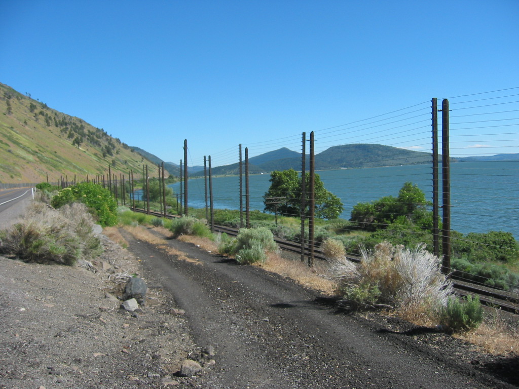
Standing By US-97 And Looking South, A View Along The Eastern Shore of Upper Klamath Lake.
AND An Un-Answered Puzzle: Why Is This Super High Electric Fence Here?
.Along the road through here => The Narrator completes a four page discussion of: 1) Phaedrus discoveries about the University of Chicago, 2) Hutchinss and Adlers Great Books Program, and 3) Aristotle. 4) Phaedruss hatred of Aristotle is also reviewed.
This part of the story ends with Phaedrus proposition regarding Aristotle, in an audacious letter to the Chairman of the Committee on Ideas and Methods. We then are switched back to the road =>]
"We travel down the eastern shore of Klamath Lake on a three-lane highway that contains a lot of nineteen- twenties feeling. Thats when these three-laners were all made." (Cont. Next)
Eleven miles North of Klamath Falls, OR. Klamath is the name of one of three Native American tribes that lived in this region prior to the arrival of the Europeans.
.From Crater Lake, I drove South along Rt-62, and then US-97, eventually following the Eastern Shore of Upper Klamath Lake. For this distance I did NOT discover any evidence for a three lane road that would fit the Narrators descriptions. I deduce that I traveled on a newer straightened highway, different from the road the Narrator traveled on in 1968.
.The Discussion Below (Keyed To A Google Satellite View), Gives What Is Known About The Roads The Narrator May Have Taken Back In 1968.
As You May Have Already Done, In The Steps Mentioned In The SIXTH Photo Previous => In This Satellite View, You Can Zoom-In Maximum, To See =>
..1) US-97 is Generally A Straight High Speed Two Lanes
With some places added non-traffic safety lanes on both sides,
the whole length of Upper Klamath Lake.
..2) But where the Lake Shore & US-97 curve from going SE to going SW, you can here see (At Hagelstein County Park, shown Satellite View /\ Above/\) where there is ALSO Rt-671 (Algoma Road), Going South.
This is clearly an older, original, twisty-windy road, that goes through successive towns in the area.
..3) Following this Road South in the above-mentioned Satellite View, you can see it is narrow two lanes, with no evident wider places where there may once have been three lanes. Further South, shows two more stretches of older, original road (Shady Pine Road & Wocus Road), with the same conclusions.
..4) I (Henry Gurr) did Extensive Googling for dates when the Straight High Speed Two Lanes were constructed, but could NOT find any clues. But It seems likely that Author Robert Pirsig came through in 1968, before the newer Straight, High Speed, Two Lanes were constructed, and the ZMM Narrator followed the older original twisty-windy roads, as mentioned 2) above.
..5) TopoZone maps also show plenty of Dikes and Pumping Stations. Evidently, these Dikes And Pumping Stations are done for agriculture in agreement with the statements of Wetlands Wildlife Preserve. Various Internet WebPages say that 80% of original wetlands have been drained.
..6) Wikipedia Gives A Good History Of The Upper Klamath Lake Area, and Discusses The Uses & Modifications to Klamath Lake. Click Here.
SIDE NOTE:
Back in Bend, OR, US-97.was the ZMM Narrators hyped-up danger close in.. High Speed, four .lane highway. This was the High Traffic US-97 ZMM Route, which was Jampacked, Intense, Insane, and Over Busy!
**************************
(Photo = 114- 1461
... ZMM Page = 313
... WayPt = 385w 4251ft)
