Friday, July 19, 2024:
Back On The Road After Lewis & Clark Caverns!
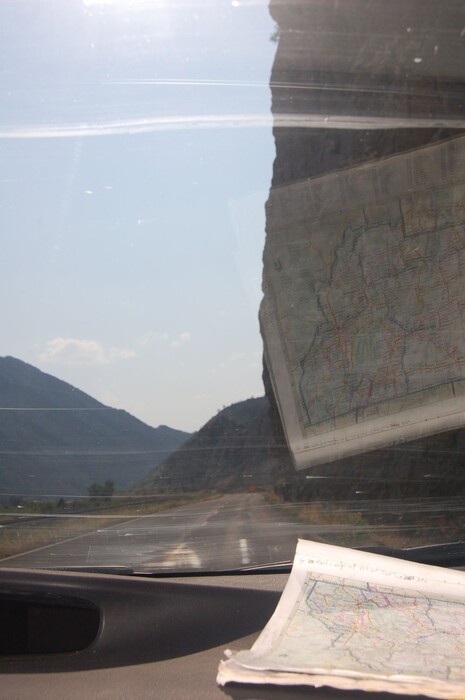
Henry Gurrs Camera Catches This NEAR VERTICAL ROCK, Cut By The River, And Then Further Straightened Vertical, By Road Construction.
Please Study This Closely, And SEE That This DRAMATIC VERTICAL CLIFF Is Partly Obscured By The Windshield Glass, Reflection Of The Map.
You Can See How The River, The Railroad, And The Highway, Are All Jammed Tight Into The Canyon!! GPS = 45.8315242,-111.8893926
Along The Jefferson River, Approaching The ZMM Narrators => A Narrow Canyon Of Whitish-Tan Rock, 2.17 Straight Line Miles South Of LaHood Park, MT.
..****************..
File = DSC_0499 RotResize1000x1504 ~154KB Back on the road first photo after Lewis & Clark Caverns
Click Here To Go To A Google Street View, That Shows The Scene in The /\Above/\ Photo, At This Location. You Can Then ClickDrag, Explore On Your Own.