Friday, July 19, 2024:
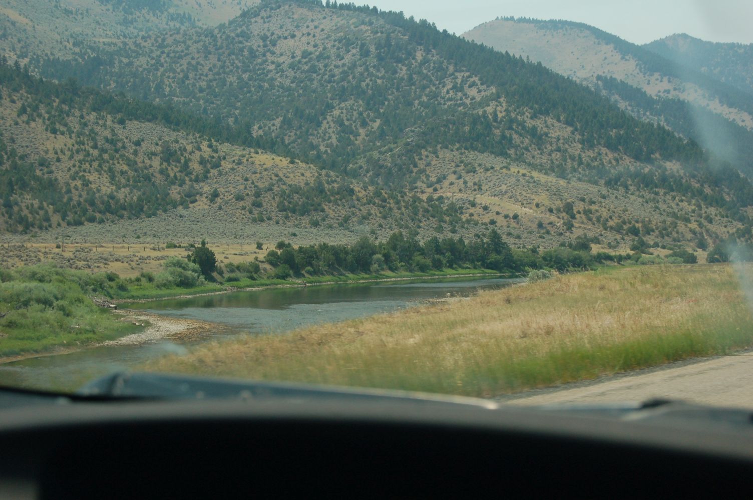
A Looking Down On The Jefferson River. All That Water, In An Otherwise Water-Starved Landscape. GPS = 45.8220258,-111.8439041
..****************..
More Continued Topic, From Previous Photo =>
Elevation Data For The River Might Be Used To Find Rapids, Because Rapids Are Where There Are The Largest, & Greatest Incline, Drops In The River Level.
.To Study Elevation, use the WebSite Called ElevationFinder, or use Topographic (Topo) Maps.
.I have spent some time studying the Elevation Contour Lines of the Blue Link below, only to find it is very difficult to see, where Contour Lines cross the Jefferson River, even where I think the river is the steepest. This TopoZone Map Will Come Up Showing (At Center) The Same Location As Above Google Satellite View. The only contour line river crossing I can see is > Lower Left of where it says Lewis and Clark Caverns State Park., at the river, where there is an A in the word MADISON CO. But, this is not enough info to find rapids. Click Here.
.Alternately, on previous photo, use Google Maps, Upper Left > Click Three Horizontal Bars > Click Terrain. As you will see, this also shows Contour Lines. But contour line river crossings are even harder to see..
..****************..
File - DSC_0497 Resize1504x1000 ~154KB.jpg
Click Here To Go To A Google Street View, That Shows The Scene in The /\Above/\ Photo, At This Location. You Can Then ClickDrag, Explore On Your Own.
