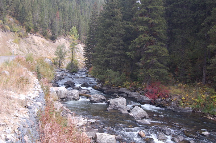
Hyalite Creek; Also The Canyon Road Back To Bozeman Can Be Seen Above the Dry Grass At Far Left.
.We cross the creek using a rope, which we leave behind, then on the road beyond find some other campers who give us a ride into town.
.. .. In Bozeman its dark and late. Rather than wake up the DeWeeses and ask them to drive in, we check in at the main downtown hotel. Some tourists in the lobby stare at us. With my old Army clothes, walking stick, two-day beard and black beret I must look like some old-time Cuban revolutionary, in for a raid.
... In the hotel room we exhaustedly dump everything on the floor. I empty into a waste basket the stones picked up by my boots from the rushing water of the stream, then set the boots by a cold window to dry slowly. We collapse into the beds without a word. (End Chapter 22.)
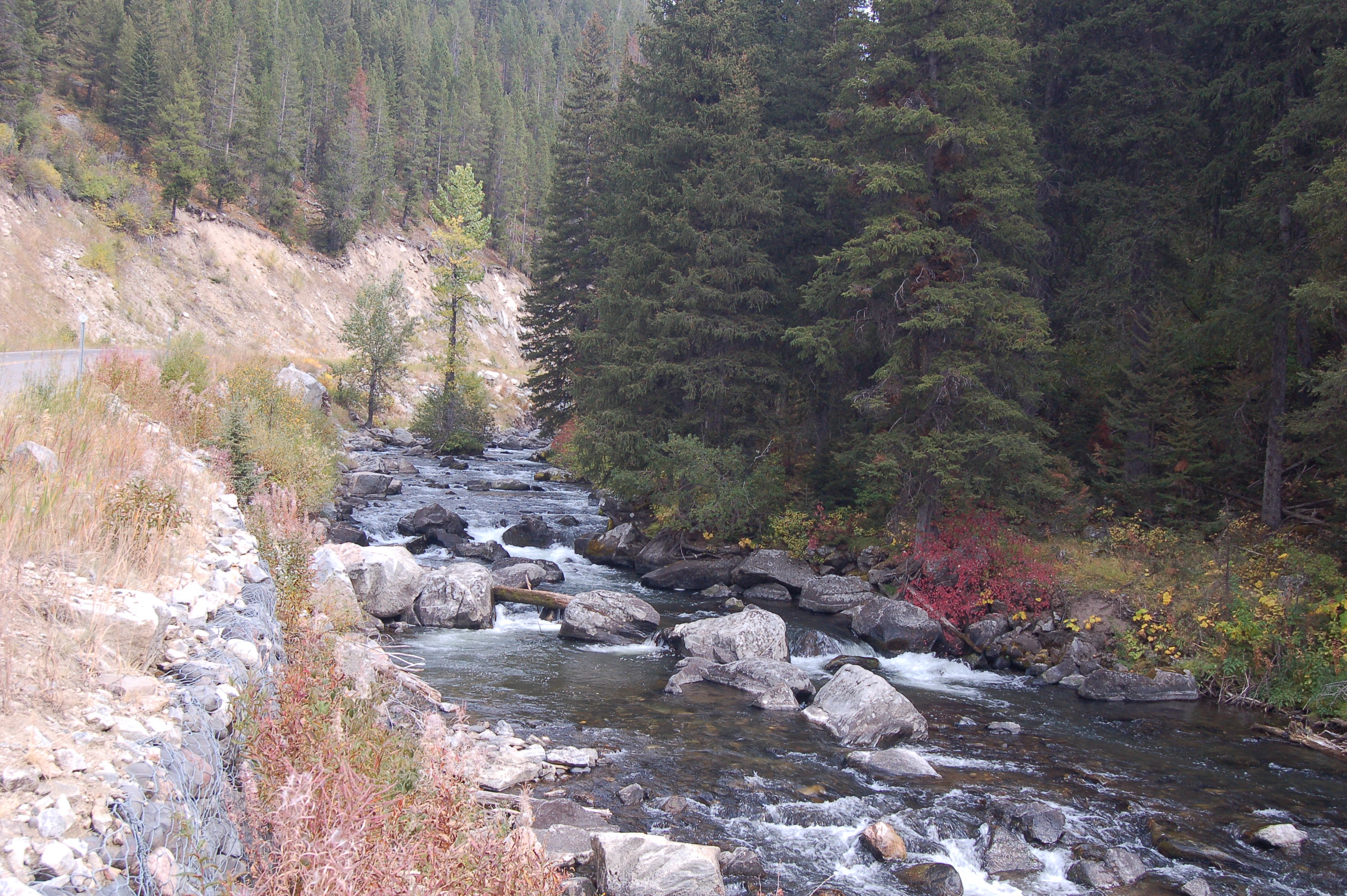
Upper Hyalite Creek At A Road, Gallatin National Forest, MT.
..****************..
Here ENDS The ~34 Photos Illustrating The "N+C Hypothetical Climb Trail "
..1) The Next 5 Photos Are Topo Maps Showing Various N+C Trails, Which Are To Help The Reader To See Where Various WayPt N+C ## Are Located In Gallatin National Forest. These are the Topo Maps mentioned at the beginning of this Photo Album.
..2) The remaining ~202 Photos in this Album show the continuing ZMM Part III Narrative => Leaving Hyalite Canyon, continuing through Bozeman, and on West thru to Prineville Junction, Oregon, now a suburb of Redmond, OR, and finally their campsite, in loose spongy volcanic dust, just North of La Pine, OR.
..****************..
..A) To View 7 More Photos of Cottonwood Canyon, Starting At DeWeese Home August 3, 2019. These Were Taken During A ZMM Enthusiasts Hike ~2 Miles On Cottonwood Canyon Trail, Into Gallatin National Forest.
...B) Following The Above 7 Photos, You Will See 6 Photos of My (Henry Gurr) Day Hike From Hyalite Canyon To Upper Fox Creek Meadow, Gallatin National Forest, South Of Bozeman, MT.
Right Click & Open In New Tab to View Series of 7 Photos of => August 3, 2019, ZMM Enthusiasts Hike ~2 Miles On Gallatin National Forest Trail into Cottonwood Canyon.
.PHOTO VIEWING NOTE: To Best See Panoramas and Other H. Gurr Photos, Click Photo Several Times to Get Largest View. Then ClickDrag Sliders to See Parts Off Screen.
*************************
(Photo = September2006 0081 ...... ZMM Page = 232 ...... Photo simulate WayPt = N+C 29 6920ft = 11.84 mi fm DeWeese.)