The Narrator Provides Additional Descriptions of the High Idaho Plateau They Had Traveled Over, Saying =>
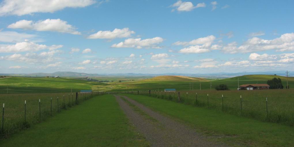
.It Looks Almost Like The Prairies Of The Dakotas.
.Back in the heat again and not far from Grangeville we see that the dry plateau that looked almost like prairie when we were out on it
. (Cont. Next)
Southwest of Grangeville, ID. Just west of town, Rt-13 ends and the ZMM Route turns South onto US-95, a major through-highway for all of Western Idaho. It travels, always South (or North), originating way North of Radium Springs in Canada, continuing to I-80N West of Boise, ID, with continuation generally South, practically all the way to Blythe CA, at the Colorado River, near the Mexican border!!
.As you will see, the ZMM Route follows US-95 South for ~90 miles, traveling deep into the Salmon river Canyon, through New Meadows, ID, to Cambridge, ID, where it will turn West onto Rt-71 into Oregon.
*************************
(Photo = 110-1103c ...... ZMM Page = 259 ...... WayPt = 280i. Photo at WayPt = 277x 3446ft)
