The Way Down To The ZMM Narrators Stream.
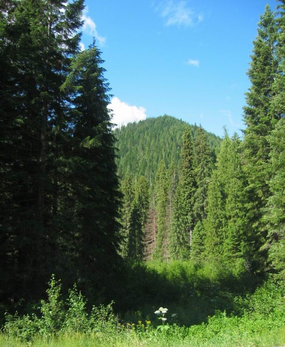
A South View From US-12 Toward The Lochsa River Is Shown In /\ Above /\ Photo.
.The downward slope of the road makes our feet flop as we head toward the stream. Chris shows me some stones hes collected while Ive been sleeping. The pine smell of the forest is rich here. Its turning cool and the sun is very low. The silence and the fatigue and the sinking of the sun depress me a little, but I keep it to myself."
Getting Down Near Lochsa River, Forested Mountains, Lochsa River Canyon, ID. But where is the stream the Narrator mentions after earlier saying =>
.The logging road is sandy,
.We see side roads off the main logging road but I stay on the main one until after about a mile we come to some bulldozers. That means theyre still logging here. We turn back and head up one of the side roads. After about half a mile we come to a tree fallen across the road..
In looking at the TopoZone Map along US-12 down from Lolo Pass, there are not hardly any small streams marked near logging roads.
.So, from the above passage we can conclude its likely that Chris & Narrator walked South about 1.5 mile down to US-12, cross this highway and went beyond a bit more, to the Lochsa River. Thus, this is a best fit I can see, to reach the Narrators stream.
*************************
(Photo = 110-1058cz.5 ..... ZMM Page = 244 ...... WayPt = 265i4. Photo at 267w 3372ft)