The Highest Snow Covered Mountain Is Lolo Peak at 9,096 ft.
Now its paved and the turns are very broad. (Cont.next)
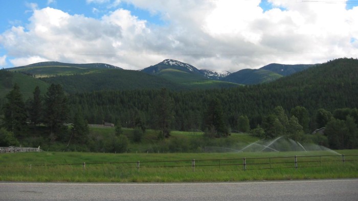
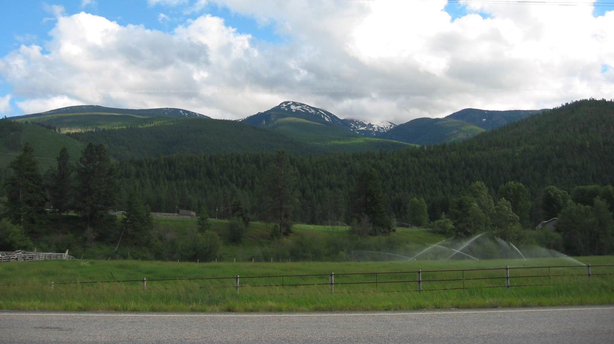
.Ten miles West of Lolo, MT. Beyond a closer grass covered range lies the Bitterroot Range. It is a massive, high, continuous rugged mountain barrier that starts just south of the northwest corner of Montana and runs southeast for 300 miles.
.These mountains, called the Bitterroot Range, is so formidable and relatively impenetrable, that it naturally became the largest part of the border between Montana and Idaho. The state line runs exactly along the peak tops of the ridge.
**************
Excerpts From Wikipedia Bitterroot.
.Bitterroot (Lewisia rediviva) is a small perennial herb in the family Montiaceae. Its specific epithet rediviva ("revived, reborn") refers to its ability to regenerate from dry and seemingly dead roots..French trappers knew the plant as racine amère (bitter root). Native American names included spetlum/sp̓eƛ̓m̓ or spetlem ("hand-peeled"), nakamtcu (Ktanxa: naqam¢u),[9] and mo'ôtáa-heséeo'ôtse (Cheyenne, "black medicine" ]
.The roots were consumed by tribes such as the Shoshone and the Flathead Indians as an infrequent delicacy. Traditionally, the Ktunaxa cooked bitterroot with grouse. For the Ktunaxa, bitterroot is eaten with sugar; other tribes prefer eating it with salt. The Lemhi Shoshone believed the small red core found in the upper taproot had special powers, notably being able to stop a bear attack.
,,,,Meriwether Lewis ate bitterroot in 1805 and 1806 during the Lewis and Clark Expedition. The specimens he brought back were identified and given their scientific name, Lewisia rediviva, by a German-American botanist, Frederick Pursh.[8] Based on Lewis and Clark's manuscript, Pursh labeled it "spatlum"; this apparently was actually a Salishan name for "tobacco".
,,,,The bitterroot was selected as the Montana state flower in 1895.
********
,,,,Three major geographic features owe the origins of their names -- to this flower. => The Bitterroot Mountains (running northsouth and forming the divide between Idaho and Montana), the Bitterroot Valley, and the Bitterroot River (which flows southnorth, terminating in the Clark Fork river in the city of Missoula)
.
************************
(Photo = 109-1029ce ...... ZMM Page = 242 ...... WayPt = 259w 3938ft)