This Line of Relatively Large Trees Signifies a Major Stream.
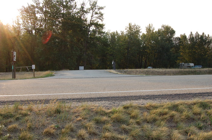
. Beyond Road pavement, You See The Entrance Pavement Into =>The "Montana Department of Wildlife Fishing Access " At Rock Creek.
.This /\ Above /\ Photo Is Part of A Panorama Taken At Same Location As Previous Photo Of Trees At Canal.
. [ We are following a creek to its source. It contains water that was probably snow less than an hour ago.]
About 9.2 miles prior to Red Lodge, MT. The /\ Above /\ Photo is along US-212, halfway between Roberts, MT, & Fox MT, , which are about 7 mile apart
. As I traveled this way in 2002, I was actively looking for a good place to photograph the stream mentioned by the ZMM Narrator. I was convinced the stream was here, but nevertheless was NOT able to find it until I got to Red Lodge!
.In addition, I completely missed the presence of a continuing low bluffs (showing the edges of the valley), on both sides of the highway, AND missed the fact that I was traveling for over an hour in a relatively flat valley between the confining bluffs at edges.
.As I have mentioned in previous photos, when looking for streams or rivers in drylands, I had not yet learned how to look for a continuing line of trees in these otherwise dry grassy areas.
.So it was, that I came home with NO 2002 photos of Rock Creek prior to Red Lodge, MT.
.Thus in 2006, I was wise to the problem, and was looking even more closely! However (as mentioned in previous photos), I STILL missed all of my 3 chances to find & Photograph Rock Creek, for example where US-212, actually crosses this stream
So, when traveling along US-212, I saw a sign saying => "Montana Department of Wildlife Fishing Access ", I stomped on the brakes hard and stopped here, off the highway.
(Cont.Next)
*************************
(Photo = Summer2006 0411 ...... ZMM Page = 105 ...... WayPt = 124k)