Monday, July 22, 2024:
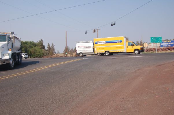
Dense High Speed Traffic On US-97.
The ZMM Narrator Says =>
I watch the cars go by for a while on the highway.
Earlier The ZMM Narrator Has Said =>
arrive in Prineville Junction
at the intersection with Highway 97, where well turn south,
********************
DATE-LINE: July 8 2021. by Henry Gurr.
AN EXAMINATION OF THE REASONS FOR => THE ABRUPT 90 DEGREE TURN SOUTH, AT PRINEVILLE JUNCTION?
If You Look At A Road Map (Or Satellite View Such As Blue Link Next Below(, You Will See That The Narrators Travel Has Been => 1) Approximately West Ever Since Bozeman, MT And 2) Mostly West Ever Since New Meadows, Idaho. \
. And For Example .... If In Robert Pirsigs Original Plans 1)Seeing Crater Lake Or 2) Using A Shorter Route To California, Then Maps Show Shorter, Higher Riding ZMM Quality Roads, To Do This.
.Now, Since The Narrator Did Not Do This, But Continued Mostly West Until Arriving => At A A Nothing Curb, By Some Nothing Gravel, At A Nothing Intersection, Going Nowhere. ,
. AND, From This
. We Must Conclude There Must Have Been, In Reality, An Abrupt Sudden Change Of Narrators Plans, As He Sat On That A Nothing Curb,
. And Thus Saying -=>
arrive in Prineville Junction
at the intersection with Highway 97, where well turn south,
********************
.As Fully Discussed In Three PREVIOUS Photos, => There Are Many Reasons Why Author Robert Pirsig MUST Have Taken The Crooked River Route (O'Neil Highway, Rt-370).
. This back-country, narrow, low traffic, scenic road, away from bustling high-speed traffic, certainly is consistent with the Narrators desire to take the lesser traveled by-ways.
Here, he choose a scenic Rt-370, low-traffic highway, to go West FROM Prineville, Oregon, TO Prineville Junction, Oregon, thus avoiding on the more recently constructed Rt-126, which had more & faster traffic which going from Prineville, Oregon, directly to Redmond, Oregon..
All This Is Very Reasonable, Until We Study The ZMM Route West On A Map =>
.We find Pirsig and Chris essentially going West, From New Meadows, Idaho, through Redmond, Oregon, In Central Oregon, as may be seen on a Road Map (Or On This Satellite View. Click Here.).
.Seeing this Essentially Going West through Central Oregon, we would expect the Narrator to CONTINUE essentially West to the Pacific Ocean.
This Expect The Narrator To CONTINUE Essentially West To The Pacific Ocean. Is Supported By =>
.Robert Pirsig (The Narrator) was quite keen on reaching the Pacific Coast. Saying for example =>
..1) At Klamath Lake Roadhouse, Narrator says
could have gotten to the ocean much quicker by another route. AND
..2) In Chapter 29, upon arriving at the Pacific, the narrator remembers,"this was our great goal all these days.
NOW
This Expect The Narrator To CONTINUE Essentially West To The Pacific Ocean. Is FURTHER Supported By =>
..3) Author Robert Pirsigs own Pre 1959 Proposed Road Trip Routes of Travel, going essentially West to the Pacific Ocean, by way of the Columbia River, and then following Coast Highways to San Francisco. This was Ink Marked by Robert Prisig On A Map Showing => A Possible Travel Route From Minneapolis, To The Pacific Ocean California Coast.
To See Marked Out With Felt Tip Marker By Robert Pirsig Himself, On A 1951 National Geographic USA Wall Map, Well Before His Actual 1968 trip. Click Here.
Why the Abrupt Turn South at Prineville Junction?
To Learn More About WHY Author Robert Pirsig Decided To Abruptly Turn 90 Degrees, And Go South, > Click Here.
File = DSC 0563 Resize602x400