There Are Many Routes Into the Mountains, Real and Philosophic.
.Some travel into the mountains accompanied by experienced guides who know the best and least dangerous routes by which they arrive at their destination. Still others, inexperienced and untrusting, attempt to make their own routes. Few of these are successful, but occasionally some, by sheer will and luck and grace, do make it. Once there they become more aware than any of the others that theres no single or fixed number of routes. There are as many routes as there are individual souls.
*************************
For Now. Lets Focus On A N+C Hypothetical Climb Trail, That Has A BEST Fit To The ZMM Narrative. The Following Discussion Applies To This Topo Map, Which Is The BEST One To Now Focus On => Right Click and Choose New Tab, Where Will See => The following Marked Trail =>
..H) WayPt = N+C 01 to 08 are IN Cottonwood Canyon, going from DeWeese Home, to nearly Fox Creek Canyon.
..I) .WayPt = N+C 09 & 10 are further up-stream Cottonwood Canyon, and MARK THE. Continuation of => A N+C Hypothetical Climb Trail, into Fox Creek Canyon. This trail leaves Cottonwood Canyon to go East, Then Southeast, to go up, at first close by Fox Creek WayPt = N+C 10 & 11, then gets gradually steeper. Continues very steep to West of the creek, to climb towards WayPt = N+C 12.
..J) WayPt = N+C 12 leads to a difficult climb to an adjacent knoll for Narrator & Chris overnight camping.
..K) Continues the next day along Upper Fox Creek to WayPt = N+C 14, which marks a steeper climb. Then after (possibly) a zig-zag, the climb turns Southeast going by WayPt = N+C 15. Then climb to ZMM Narrators ridge crest WayPt = N+C 23 & 24, where Chris shouts Blue Sky!
..L) At WayPt = N+C 24, the ZMM Narrator studies a path along the ridge South towards Mount Blackmore, where Google Earth shows patches of snow.
.M) WayPt = N+C 25, 26,27 28, marks Narrators (frightened by rock-slide) climb down to a nearest paved road, and Trailhead Parking Lot where there would be people for Narrator & Chris to hitch a ride back to Bozeman. This is at WayPt = N+C 29. I have chosen a route that goes through a muddy rut at Blackmore Creek.
************************
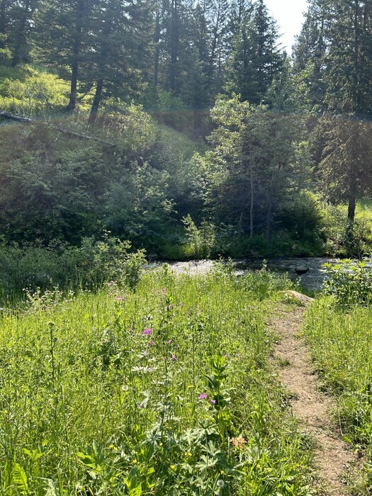
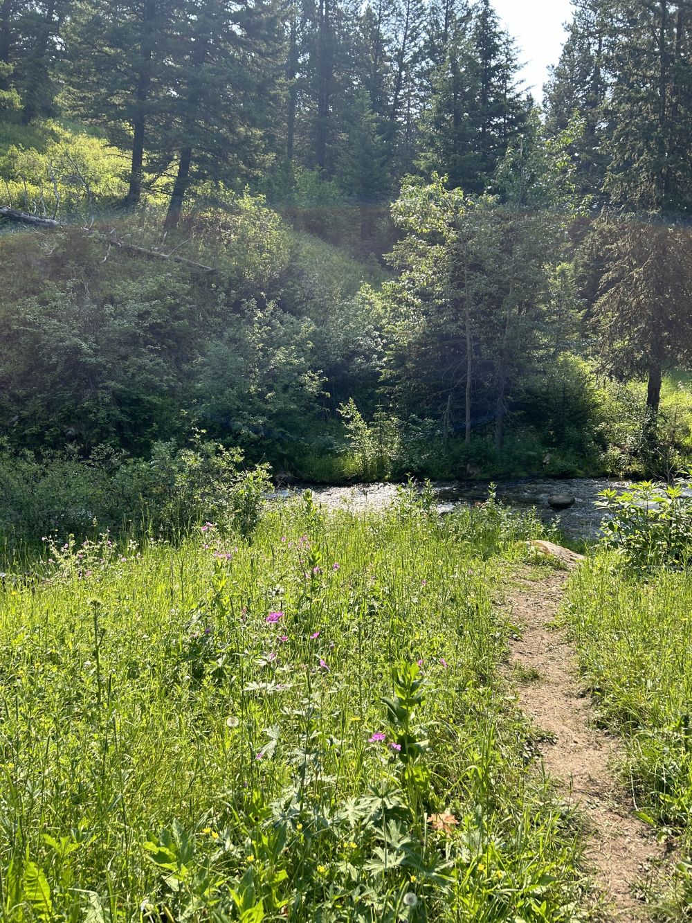
(Photo NC5a Resize1000x1333.JPG ...... ZMM Page = 167 ...... Photo Simulate WayPt = N+C 04a = ~2.4 mi fm DeWeese.)