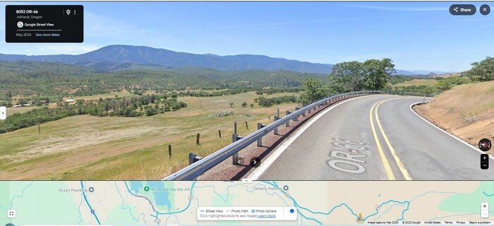
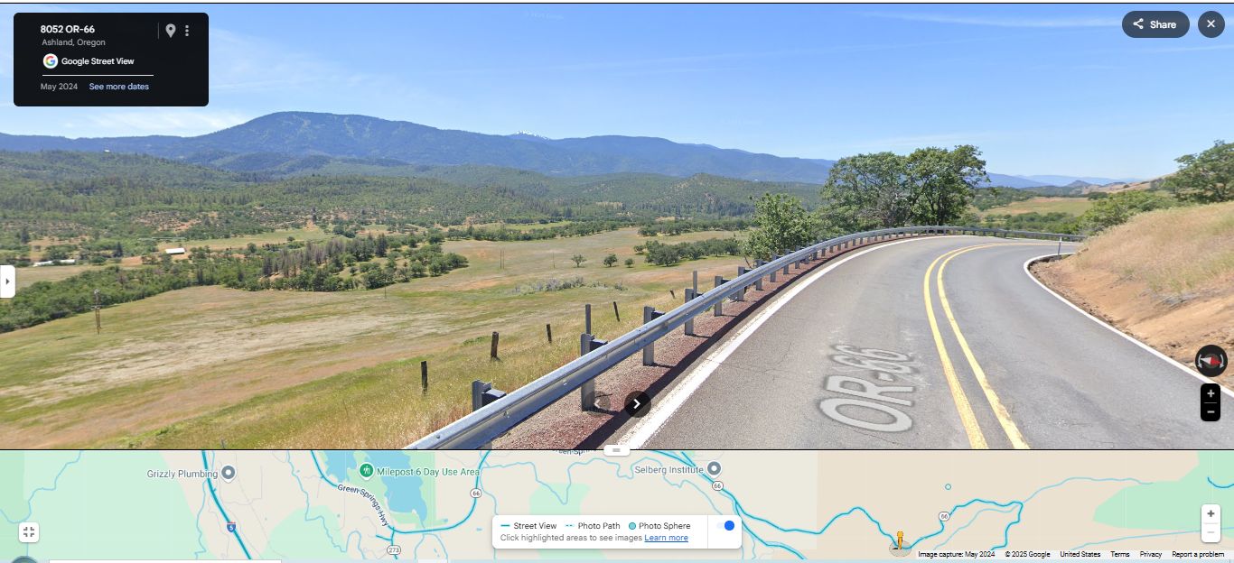
Scenery Along The Green Springs Highway OR-66. As The Road Continues Its Steep Descent Down To Schoolhouse Creek Valley, We Are Nearer To The Bottom. The Tight Curve At Right, Shows How Steep.
As Is Shown In The Above GSV Strip Map, The Road Ahead, Will Go Along Emigrant Creek, And Then Goes By Emigrant Lake, Offering Nice Views. Then Rt-66 (And The ZMM Route), Travels NorthNorthWest, To Where It Eventually Turns Straight West, Go Over I-5 Pacific Highway, Continue Straight West Thru Ashland Oregon, And Turn Northwest Onto The Rogue Valley Highway, Rt-99.
ZMM Page 317
File = GSV 8052OR66 TopoZoneSzStGrnSpringsMt OverlookSchoolhouseCreekRdCurvSeepDn