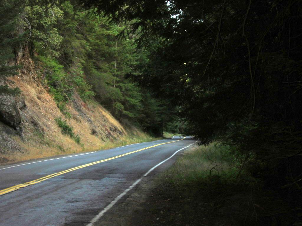
We Twist, Curve, and Bump Through The Forests, Just Like The ZMM Narrator Says.
The road continues to twist and wind through the trees. It upswings around hairpins and glides into new scenes one after another around and through brush
. (Cont Next)
Along the Comptche-Ukiah Road. About nine miles East of Mendocino, CA and about four miles East of Comptche, CA.
*************************
Please Be Aware That Henry Gurrs Following A) & C) Google Earth Projects Are Completed, And Ready To View As Follows =>
INSTRUCTIONS: For best enjoyment of these below 3D Google Earth Views, AND for maximum understanding at each Blue Pinpoint, you should 1) Have the ZMM Route photos you are looking at, AND CONCURRENTLY 2) Have either of the Blue Links below => on a separate Computer, or Cell Phone screen.
You will find additional specific instructions in each of the Google Earth Projects.
A) GoogleEarth 3D Viewing Of A Mountain Climbing Route of Chris and the Narrator, In The Gallatin National Forest (GNF) South of Bozeman, MT. This Route Fits Mountain Climb Narrative, In The Book Zen and the Art Or Motorcycle Maintenance (ZMM) by Robert Pirsig.
INSTRUCTIONS: AFTER This Page Comes Up => Please Scroll Down To And Read BOTH ABOVE and BELOW THE FOLLOWING WORDS =>
If You Don't Have The Resources Or Time To Climb The Trail, Or Even Drive There!
FROM YOUR COMPUTER (WITH A FAIRLY FAST INTERNET), YOU CAN GOOGLE-EARTH, CLICKDRAG VIEW THE ENTIRE => "N+C Hypothetical Climbing Trail". (Also, you will see the needed Google Earth Link.)
B) GoogleEarth 3D Viewing Of ZMM Book Route Along Montana & Wyomings Beartooth Highway From => ZMM Town Of Laurel, MT To Highest Parts Of The Beartooth Plateau (~11,000 ft Elevation). And then To East Gate Of Yellowstone National Park, Go By YNPs Mammoth Hot Springs Calcite Formations, And Then To ZMM Town Of Gardener, MT.
ATTENTION: This Is A JUST STARTED NEW Google Earth Project, And As Yet Has NO CONTENT. If you want me to hurry up and get some content here, please send email to HenrySGurr@gmail.com
This Currently Has No Content, But Will Be Ready For Viewing ASAP.
C) GoogleEarth 3D Viewing of ZMM Route => Starting this WayPt = 453w seen in The /\ Above /\ Photo. And then continuing
Along the Mountainous California Coast To > Mendocino, CA. Then Inland To Ukiah, CA. And Then Via US-101 > San Francisco. Click Here.
*************************
(Photo = 117-1724b ...... ZMM Page = 371 .... WayPt = 470i3 ~0750. Photo at 468w ~0425ft)
