Added July, 2024:
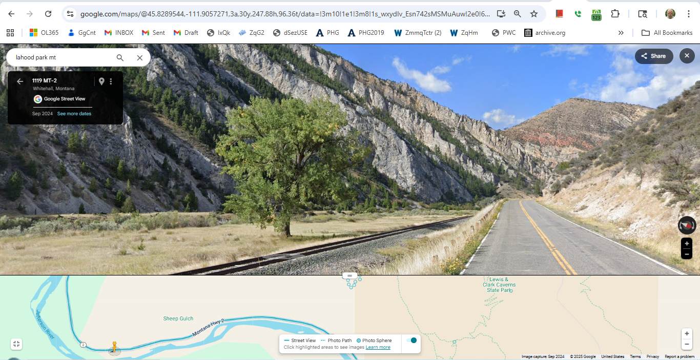
A Henry Gurr, 2002 Well-Remembered Lone Tree, Between The Jefferson River, And The Railroad Tracks & Highway,
As Seen With. Google Street View, Along Montana Rt-2.
Trees This Large Are Uncommon In This Dry Land. Perhaps This Tree Gets Extra Water Due To Low Land & Near River.
Along The Jefferson River, Approaching The ZMM Narrators => A Narrow Canyon Of Whitish-Tan Rock, 1.33 Straight Line Miles South Of LaHood Park, MT.
,,,GPS = 45.8357378,-111.9101887
..****************..
File = LoneTreeBetweenJeffersonRiver&MontanaRt-2HealthyLargerThanPrevYearsGsvHsgPix
Click Here To Go To A Google Street View, That Shows The Scene in The /\Above/\ Photo, At This Location. You Can Then ClickDrag, Explore On Your Own.