Friday, July 19, 2024:
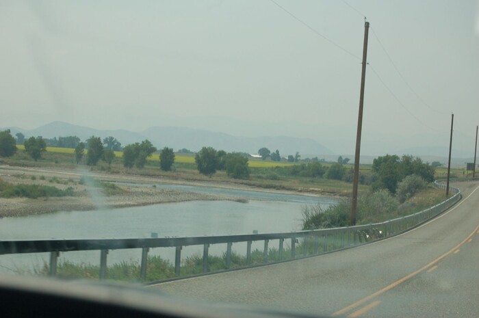
Traveling Montana Rt-2, We See That The Highway Traveling In The Jefferson River Valley, Where It Is Wide And Agriculturally Rich.
The Journals Of The Lewis & Clark Corps Of Discovery Expedition, Tell Us Of Their Experiences Along This Portion Of The Jefferson River. They =>
Exerted great effort, at great peril, to bring their boats up the river rapids GPS = 45.8635886,-111.6340233
..****************..
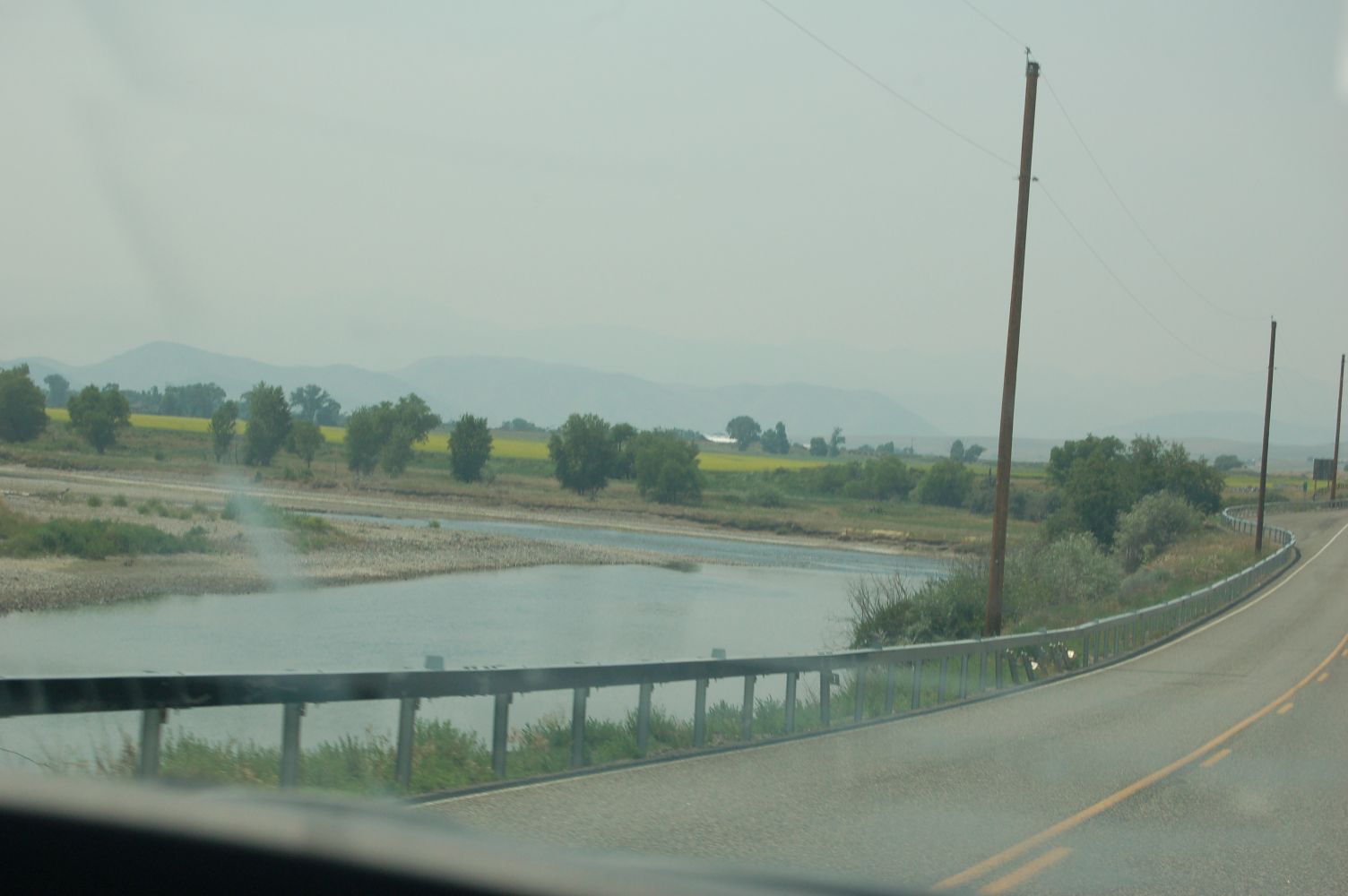
The NEXT Photo shows an example of these Rapids, and discusses where and how to see Rapids along the Jefferson River.
..****************..
. For Further Study Of A Satellite View: RIGHT Click & Select New Tab To See A Google Satellite View, where the location of Red Pinpoint, marks one of the Jefferson Rivers the deeper-narrow-cut-throughs in this mountain ridge. AFTER this Satellite View comes up, use ClickDrag to study the Mountain Ridge further SouthEast. Then you may Zoom-In To see the Closest Clear Image, to study the River bottom, and look for most likely places for rapids.
.The /\ Above /\ Photo and the NEXT 7 Photos were taken at a locations SouthEast of the Above-mentioned Satellite View Red Pinpoint Marker. The Shield Shaped US-297 Marker, and the Oval Rt-2 Markers, will help you follow the ZMM Route along the Jefferson River through this area.
File =0485 replaced with 0487 Resize1504x1000 ~154KB revised from 0485
Click Here To Go To A Google Street View, That Shows The Scene in The /\Above/\ Photo, At This Location. You Can Then ClickDrag, Explore On Your Own.