The Narrator Plans the Climb So At End of Second Day They Will Be Near a Road.
. As DeWeese said, from here straight south you can go seventy-five miles through nothing but forests and snow without ever encountering a road, although there are roads to the east and the west. Ive arranged it so that if things work out badly at the end of the second day well be near a road that can get us back fast. Chris doesnt know about this, and it would hurt his YMCA-camp sense of adventure to tell him, but after enough trips into the high country, the YMCA desire for adventure diminishes and the more substantial benefits of cutting down risks appear. This country can be dangerous. You take one bad step in a million, sprain an ankle, and then you find out how far from civilization you really are.
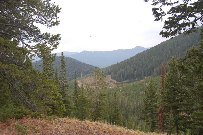
Upper Cottonwood Canyon, Gallatin National Forest, MT. Another important clue. A chosen hypothetical trail should end close to a traveled road and by implication the entire climb route was planned never to be too far from roads with some traffic and help. This is another constraint on hypothetical trail decided upon.
.WARNING!! Despite Appearances, The Forest Slopes And Mountain Peaks Are Dangerous!
.Accidents and serious sickness can and do happen! Tell the NFS or your friends where you are going and when you will be back!!!! Quality demands you plan these things ahead. Also do not go alone and have adequate maps and food and water etc.
.The ZMM Pilgrim should well copy the many, many safety techniques of the Narrator, distributed throughout ZMM.
************************
(Photo = September 2006 0009 ...... ZMM Page = 178 ...... Photo Simulate WayPt 06 or 07 6320ft = 3.43 or 4.01 mi fm DeWeese.)