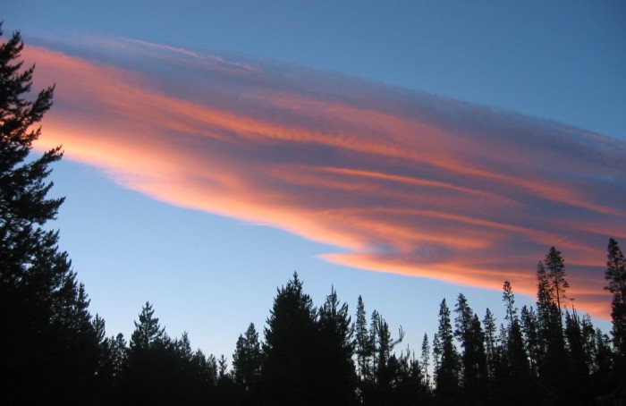
Sunset Illuminates A Flying Saucer Shaped Cloud.
.Chris and I talk for a while about where we are and where we are going. I look at the map in the twilight, and then look at it some more with the flashlight. Weve covered 325 miles today. Thats a lot. Chris seems as completely tired as I am, and as ready as I am to fall asleep.
.(End ZMM Chapter. 26 & End ZMM Part III.)
5.8 Miles North of La Pine, OR. Here we should pause to note carefully => In the above ZMM Passage, suddenly in a change of behavior, the Narrator helpfully talks to Chris. Is this because, concurrent with the decision at Prineville Junction, OR to turn 90 degrees to the South, he also decided to try to treat Chris better? This also fits his decision to show Chris Crater Lake, and being nice to Chris despite this being a Tourist Attraction!
..****************..
YOU HAVE NOW COMPLETED THE PHOTOS FOR ZMM PART III.
..****************..
The Photos For ZMM Part IV Continue In The Next Album.
.The Next Album is where you will find Photos for ZMM Part IV, where you will see 264 photos illustrating how the ZMM Narrator and Chris leave their camp spot just North of La Pine, OR, and continue through Oregon into Northern California, then along the California Pacific Coast to San Francisco. And, just before they cross the Golden Gate Bridge. This is the end of ZMM Book, and their apparent journey end.
Click Here, And AFTER This Page of 4 SubAlbums Comes Up =>Click On FOURTH Album = ZMM Part IV,
..****************..
ALTERNATIVE PHOTO GALLERY NAVIGATION;
.In this Photo Gallery => At any time, you can click on one of the several Blue Links at upper right. This will take you successively to higher Album Levels, where you can then click on where you want to go.
..****************..
*************************
(Photo = 113-1393c ...... ZMM Page = 294 ...... WayPt = 358i5 ~4219ft. Photo at = 371w ~4912ft = Corral Spring Campground, Oregon 97733 (GPS 43.253492, -121.822373 ) = HSG Camp July 4, 2002 = Previous 3 photos are at same location. )