Although Balmy Now, It Will Cool Off With the Passing Hours =>
.Making Frost Next Morning.
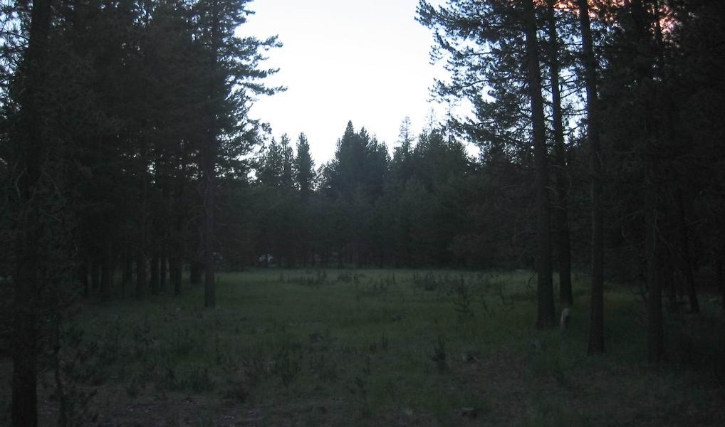
. At one of the lots far off the main highway we spread out our sleeping bags
. (Cont.Next)
5.8 Miles North of La Pine, OR.
..****************..
Continued From Previous Photo =>
.Where Is The Housing Development With The Ridiculous Tiny Lots? 2002 and 2021 ZMM Research & Findings.
....As stated in Previous Photo => While traveling South from Bend, OR towards La Pine, OR back in 2002, I traveled slower than usual, and closely studied the landscape on both sides of US-97, looking for any present-day evidence of these ridiculous little lots, and found a candidate
.But at the time, back in 2002, I was not sure, so I did not take a photograph (nor make a GPS record), because I thought better candidates would be "On Down the Highway".
.
I was wrong
But by the time I realized this, it was too late, and too many miles to go back. And whats worse, my memories & notes were not good enough, to pinpoint the location, when it came time to post these photos of my ZMM Research.
.My ZMM Research Continued In La Pine, OR, Where I Talked To Practically Everyone I Saw.
.I asked about the history of the towns only restaurant, and the adjacent gas station, and probed into the Narrators subdivided into ridiculous little lots. Some developers scheme apparently.
.An elderly couple I talked to remembered when a new US-97 was put in. Considering that the Narrator may have traveled that older road, now called Huntington Road, they remembered campsite possibilities that may have been along it, perhaps near the intersection of Burgess Rd.
.Along Huntington Road, Topozone map Shows =>
1) More housing developments South & North of, but were full sized lots.
2) There is a mobile home place 9/10 mile North of Burgess Rd, but it seems unlikely the Narrator would have turned off of US-97 to go that way.
To View TopoZone Topographic (Topo) Map Centered on the Restaurant In La Pine, OR => Right Click And Open In A New Tab. =>
.After Map View Comes Up, You Will See an AWFUL Clutter of Adverts That Are Impossible To Eliminate => YOU BEST SHOULD =>
.Use Scroll Bar At Far Right => Adjust Green Topo Map Until You See JUST BELOW The Plus&Minus Upper Left. => A ClickOn For Full Screen. Click on it, and in ~40 seconds the screen will fill and Adverts Will Be GONE. =>
.Then use Plus&Minus To Zoom. You can Click&Drag Map In Any Direction to See More Off Your Screen Edges.
..****************..
Continued From Previous Photo =>
DATE-LINE: July 11 2021. by Henry Gurr.
(ChangesSinceRobertPirsigs1968Trip) As Seen By HSG in 2002 & 2021.)
.In the Previous Photo, I mentioned how I was able to find the Cascade Meadows RV Resort by studying a Satellite View for a likely candidate for The Narrators subdivided into ridiculous little lots. Some developers scheme apparently. From this, I was able to give an Internet Link to it, so you could also see what it looked like.
.But, Back In ~2004 When I Was Originally Posting These Photos Of My ZMM Research, I Was UN-Able To Actually Find The Cascade Meadows RV Resort , because I only had Topozone Maps, and my Memories & Research Paper Notes.
.But, now-a-days with Google Satellite Views, in retrospect, finding the Narrators ridiculous little lots was rather easy, requiring about 20 minutes once I got going.
*************************
(Photo = 113-1389cb ...... ZMM Page = 294 ...... WayPt = 358i3 ~4219ft. Photo at = 372w 4912ft)
