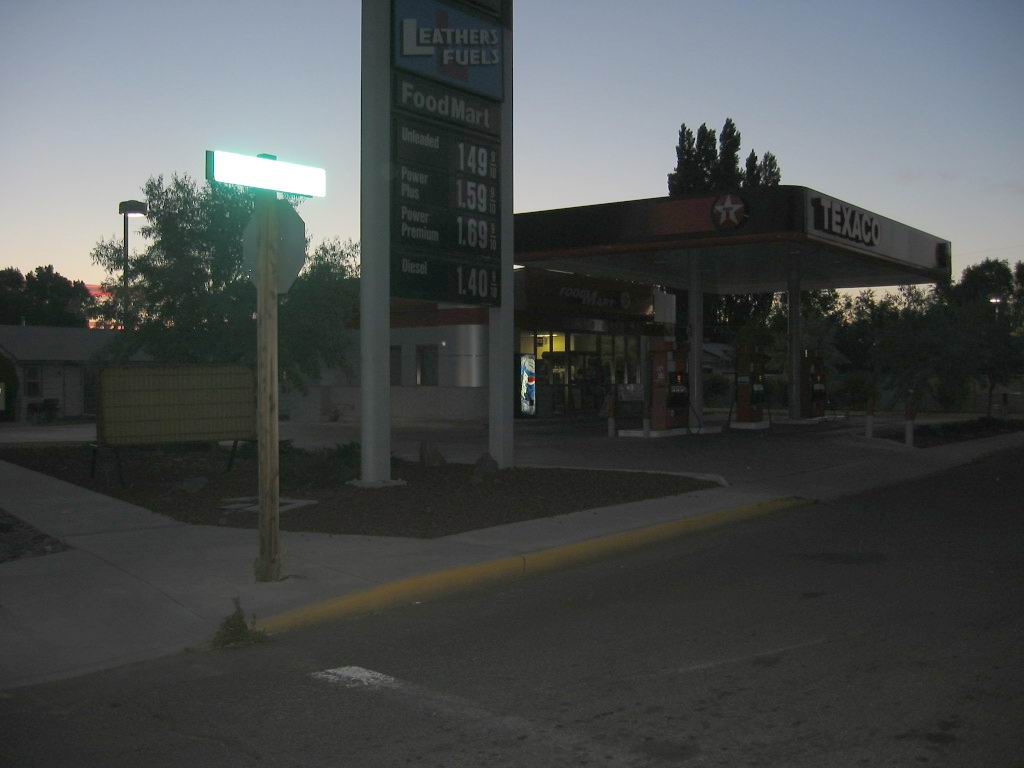
Is This What the Narrators Curb Looked Like?
.Chris comes and sits down too, and we dont say anything, but this is the worst depression yet. All that talk about gumption traps and I fall right into one myself. Fatigue maybe. Weve got to get some sleep.
.... I watch the cars go by for a while on the highway. Something lonely about them. Not lonelyworse. Nothing. Like the attendants expression when he filled the tank. Nothing. A nothing curb, by some nothing gravel, at a nothing intersection, going nowhere. (Cont.Next)
Photo On West Side of Prineville, OR. As discussed in the previous Two Photos => The above ZMM Passage takes place in Prineville Junction, some 17 miles West of /\ Above /\ Photo.
.And to get there, practically the only road Robert Pirsig 1968 could have used to travel West from Prineville, OR, and most efficiently arrive at US-97 near to Prineville Junction, would be to follow Rt-370, also called the ONeil Highway: This 18 mile road travels from Prineville, Or to Prineville Junction, OR in the scenic Crooked River Valley Click Here to see Google Street View of River, For the first ~9 miles the road stays just south of the Crooked Rivers wetlands. Soon after the 4 or 5 house town of ONeil OR, the road continues approximately West, but the river trends off to the Northwest. ((NOTE: The above Blue Link shows a Google Street View (GSV) of the Crooked River at the bridge over the river, on West side of Prineville, OR. In this GSV, you may click-on the highway seen at right, again click-on twice the GSV to move forward, and click on at the right where you see turn onto Rt-370. From here you can GSV Drive west on Rt-370 to see what this Scenic ZMM Route here looks like. You will see a wide flat valley with distant hills on both sided. This valley has moisture and irrigation water from the river, so is greener than other highland areas of Central Oregon. Some places you will see the highway and Prineville Railroad run side by side, and several other places the highway crosses over the tracks. ))
.In going from Prineville, OR To Prineville Junction, OR both and The ONeil Highway and the City of Prineville Railroad, travel in Crooked River Valley. Leaving Prineville, OR the railroad goes NW approximately a mile North of the highway, but the river, highway, and railroad become quite close in going through the town of ONeil OR, and continuing side by side going West for ~3 miles. The rest of the way to Prineville Junction, OR they remain not too far separated.
.Since the Narrator (and Robert Pirsig in July 1968) must have traveled this Highway, it necessarily becomes The ZMM Route: And rightly so, since it is a narrower, slower, less traffic, less populated, & more scenic route. In other words a higher Quality highway and travel experience!
..****************..
Whats Actually AT Prineville Junction? => You Will See In The NEXT TWO Google Street Views.
.The ZMM Narrator says
arrive in Prineville Junction
at the intersection with Highway 97, where well turn south, and I fill up the tank at the corner
.
.From these Views, you will see that it is QUITE UN-CERTAIN just where that gas station
at the corner could have been.
..****************..
For Deeper Understanding, Please Read Our => ZMM Research Examination => Why ZMM Narrators Abrupt 90 Degree Turn South at Prineville Junction, OR?
*************************
(Photo = 113-1316cb ...... ZMM Page = 293 ...... WayPt = 354i ~3250ft. Photo at WayPt = ft 354m 2881ft)