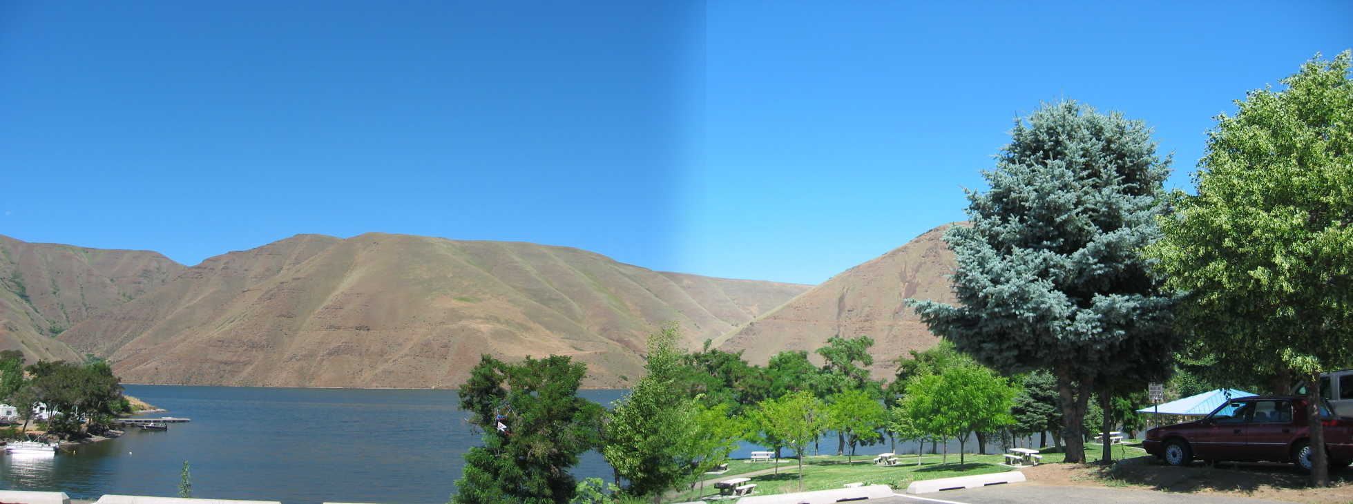
This Is The Huge Lake That Forms Upstream From Brownlee Dam.
.[ Farther on we cross a dam ..] . and leave the canyon into some high semidesert country. (Cont.Next)
Idaho Power Company, Woodhead Recreation Area, Brownlee Reservoir & Dam, Border of ID & OR. The Narrator says they cross a dam and the next sentence says they are in Oregon. This specifically implies they must have crossed the Snake River (and deep canyon), since this river is an unavoidable and major N-S barrier, that forms the Eastern border of Oregon. These words also imply that in 1968 their highway crossed on top of a dam.
.I traveled West from the Brownlee Campground to the Oregon towns of Baker and Unity, which are the next mentioned ZMM towns. I used the only reasonable and available route to connect up these ZMM Route Landmarks and was surprised to find I crossed the Snake River (not on a dam), but on a bridge one mile North of Brownlee Dam This additional 1 mile distance is not shown on my 1964 RMcNally Map, which agrees with the Narrators statement.
.Well What Can We Conclude About Author Robert Pirsigs 1968 Crossing Dams In The Area, As The ZMM Passage Says?
.The two obvious Snake River dams in this vicinity, were/are the Brownlee Dam and the Ox Bow Dam. Photos show that The Brownlee Dam has a roadway part way over it. But this abruptly ends at the edge of a huge and deep spillway. Perhaps there once was a bridge over the spillway? And then later someone decided the traffic over the dam was low Quality, and means were found to make a proper bridge a mile North.
. I studied Topozone Maps for areas surrounding both dams, since they typically show all roads, new and old. According to these maps, the Idaho side of Brownlee Dam shows a connecting road, going to the Brownlee Dam, with a connecting road continuation on the Oregon side of the river. The maps show Ox Bow Dam has connecting roads, but these are not accessible from Idaho Rt 71, the road that goes by the Brownlee Camp Ground.
.From the roads shown on the Topozone Map => I provisionally conclude that the Narrator means he crossed over into Oregon (and thus over the Snake River) on the top of The Brownlee Dam, that continued over a spillway bridge (since removed. Click Here To Open In A New Browser Tab, Shoewing.Topozone.com/map of Brownlee Dam (At GPS 44.8389 .-16.9035 )
.AFTER this map comes up, you can ClickDrag ~6 times SE along Dukes Creek, and keep going you will find South Brownlee Creek, and along it Brownlee Campground and Tight U Curve Rt-71, which is shown as square dots.
..****************..
.((Photos needed showing several views of the Snake River Canyon, just North of the Brownlee Dam. The needed photos for this passage, would show where the road passes into the (freezing) shade from the early morning sun.))
*************************
(Photo = 111-1162 +1sc ..... ZMM Page = 271 ...... WayPt = 297x 2131ft)