A Huge Steel Banded Wooden Water Pipe, The Stream, And The Road
.Together Wind Down The Steep Walled, Deep, Narrow Canyon.
.
. and I see by the angle of the sun
. (Cont.next)
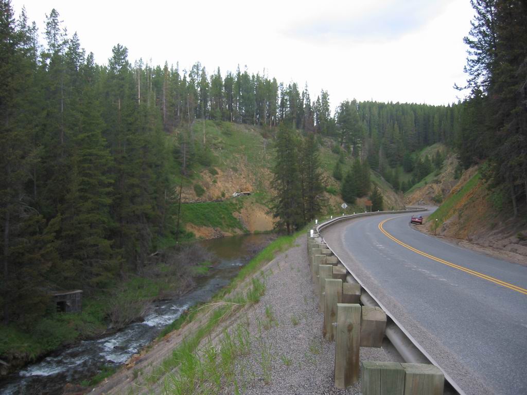
Just West of Silver Lake, MT. Look closely in the center of the picture. =>
.Just below the bare earth, you can the cut for the water pipe. This will be seen more clearly in next photo.
.****************..
. An Excellent Annotated Map of the Silver Lake Water System => That ILLUSTRATES the BELOW Paragraphs of =>Project Description and Benefits To Restoration: Plus Even MUCH More.
.****************..
CONTINUED FROM PREVIOUS PHOTO:
.THIS 60 INCH WOODEN STAVE PIPE, IS A HISTORICAL PART OF A HUGE WATER SYSTEM, THAT STILL IS A VITAL PART OF THE ECONOMY OF ANACONDA & BUTTE MONTANA:
Project Ti1le: Aquatic Improvements to Silver Lake Watershed.
.Project Description and Benefits To Restoration: (Start Excerpt of Text.)
....The Silver Lake Water System (SLWS) is comprised of a complex network of man-made ~reservoirs, natural lakes, creeks and tributaries, diversion structures, pipelines, and pump stations, that are used to manage the surface water resources of Warm Springs Creek watershed in Deer Lodge County, Montana. The system is owned and operated by the City and County of Butte-Silver Bow (BSB) and is managed for~ the purposes of 'providing water to a variety of industria1 customers located within Deer: Lodge and Silver Bow Counties, as well as providing In-stream fisheries flows. Initially conceived in the late l800's, the Silver Lake Water Systems original purpose was to provide water for-mining, smelting, and other industrial .purposes.
.Well over one hundred years later, the. SLWS remains a critical source of water for its industrial customers as well as for the aquatic health and well being of Warm Springs Creek and the Clark Fork River. The primary industrial customers on the SLWS are currently Montana Resources (MR), for use in its concentrator .and its mine permitted area in Butte; Renewable Energy Corporation (REC) formerly ASiMi, for use of its silane manufacturing plant in the Butte Tax Increment Financing industrial :District (TIFID) Northwester Energy (NWE), for use at the Mill Creek Plant; and ARCO Environmental Remediation Limited (AERL), which uses SLWS water to provide stream flows in Warm Springs Creek and the Clark Fork River.
.The SLWS consists of a network of diversion, storage, and conveyance facilities reaching from the upper portions of the Warm Springs Creek drainage basin to the Town of Butte, approximately 40 miles away. Figure I provides a more detailed overview of the SLWS showing the primary facilities in the system. As can be seen in Figure I the SLWS begins in the Twin Lakes Creek and Storm Lake Creek basins, both tributary to Warm Springs Creek. These basins provide much of the water supply for the system. Diversion facilities from these drainages transfer water to Silver Lake where it can be stored and released to meet downstream demands. Historically, water could be released through either the Silver Lake East or West Dams. Water released through the West Dam could be temporarily stored In Georgetown Lake prior to being pumped back to Silver Lake using the Georgetown Lake pump Station and Pipeline. However, the Georgetown Lake Pump Station is currently not operational. Water released from the East Dam flows within Warm Springs Creek to Meyers Diversion.
.At Meyers Diversions, water is diverted into the 'transmission pipeline for conveyance to the industrial customers in the vicinity of Anaconda and Butte. Under current operating conditions, at low flows, water can be delivered by gravity to the industrial customers in the vicinity of Butte and the TIFID. At higher flows, the TIFID pump station is required to provide additional head to lift the flow for delivery to the TIFID. Similarly, the Ramsay Pump Station allows delivery of higher flows to MR. (End Excerpt)
.(See NEXT Photo For MORE Re => 60 Inch Wooden Stave Pipe )
.****************..
The ABOVE Discussion Is An Excerpt From A Very Extensive & Very Valuable Document, Full Of Charts, Tables, Diagrams, & Drawings.pdf => Aquatic Improvements to Silver Lake Watershed. .Project Description
.. Click Here.
*************************
(Photo = 109-0976 ...... ZMM Page = 236 ...... WayPt = 243m ~6400ft)
