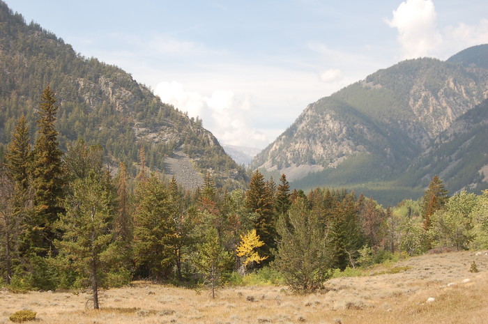
A Mid September 2006 View Deeper Into Rock Creek Canyon.
.The Valley Is Very Narrow, And V-Shape Is Seen.
~7 miles South of Red Lodge, MT.
..*********************..
Beartooth Highways Wild Wild West.=>.The History of a Wild Highway
(Excerpt Continued From Previous Photo.)....
....Early Years of Road Construction
....A majority of the Beartooth Highway was built between 1932 and 1936. The engineering aspects of the project were impressive, even by todays standards. For example, the 4,000-foot descent into the Rock Creek Canyon (7.5 miles at over 6 percent grade) on a very steep sidehill slope required creative field engineering. The project was completed on time and within budget; but at the cost of the lives of two workers. Considering the difficult terrain, short construction season, and harsh weather the progress was remarkable. The highway was officially dedicated on June 14, 1936 with a ceremony and caravan of supporters.
....Most names given to geographic points on the highway during construction have not survived, but definitely represented some meaningful interpretation to workers in 1936: Primal Point, Lunch Meadow, High Lonesome Ridge, Grizzly Knob, Frozen Mans Curve, and Inspiration Point to name a few. Todays Rock Creek Vista was known as Knox Point, and at nearby Wyoming Creek, a curving switchback that doubles back on itself was referred to as Mae West Curve!
. ((The above is an excerpt from The Full Original Post. With 3 Really Neat 1930s Historical Photos Of Construction Workers & Machinery. Click Here. ))
*************************
(Photo = Summer2006 0495 ...... ZMM Page = NA ...... WayPt = 128n)