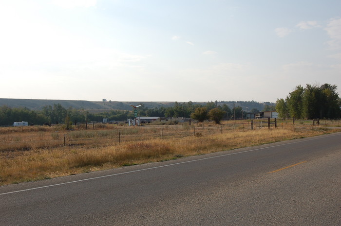
This Line Of Trees Signifies the Presence of Rock Creek.
.Just North of The City Limits of Red Lodge, MT.
. [We are following a creek to its source. It contains water that was probably snow less than an hour ago.]
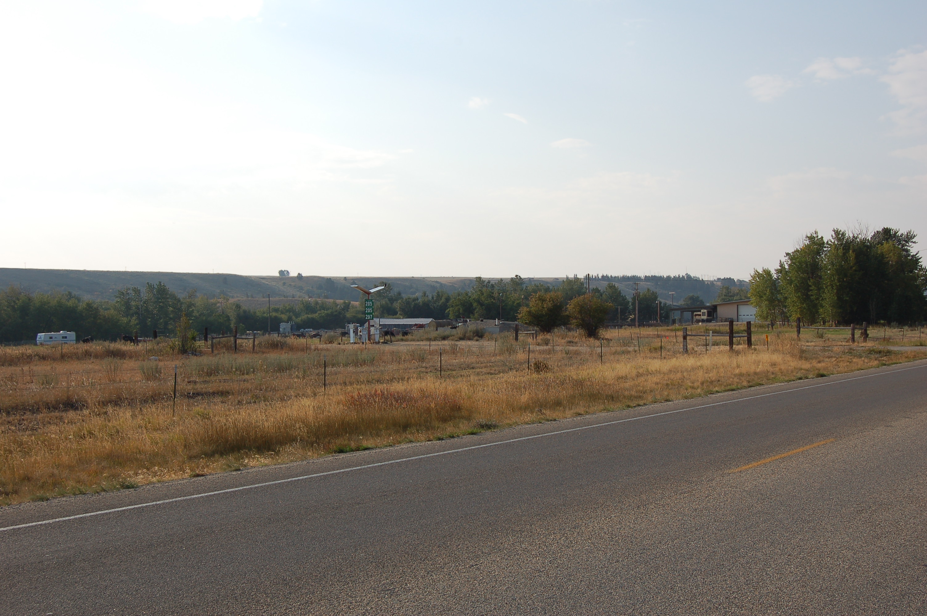
About 1.4 mile prior to Red Lodge, MT. Here is another example of how to see a line of trees showing the presence of a stream, in this case Rock Creek..
. Note fairly high, valley-confining bluff beyond and running parallel to the line of trees.
.**************
RED LODGE TOWN INFORMATION: DUPLICATED SAME INFO AS PREVIOUS PHOTO.
A) . WELCOME TO RED LODGE, MONTANA Tourist Home Page has Dynamic Skiing Photo, Plus Small Photos Of Red Lodge.
..B) A Mountain Climbers Photo Album of Beartooth Mountains.
SATELLITE VIEW OF RED LODGE, MT, AREA:
RIGHT CLICK AND SELECT NEW TAB => After Satellite Map View Comes Up, You will See ZMM Route (US-212), North Edge of Red Lodge, MT. => ClickOn The Plus&Minus To Zoom In.. You can Click&Drag Map In Any Direction to See More Off Your Screen Edges.
.After this Satellite View comes up, The Red Pinpoint ~Marks Henry Gurrs /\ Above /\ Photo at ~WayPt = 125.
.If you Zoom-In, you can see to South, the Homes & Businesses of Red Lodge, MT, AS WELL AS Further South you can see This Satellite View of The ZMM Narrators => The high, dark Absaroka Range looms directly ahead.. . Which of course, is a Satellite View looking down at => The distant mountain background seen in /\ Above /\ Photo.
************************
(Photo = 488 ...... ZMM Page = 105 ...... WayPt = 125r)