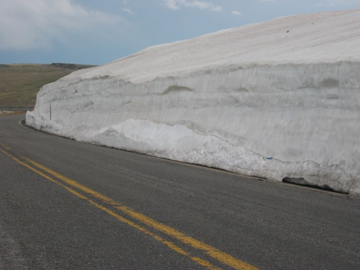
View Southeast, About 100 Feet Up Along The Road, From The Previous Photo.=>
.The Deep Snow Banks Reach Exactly To the Edge of the Pavement.
.At Upper Left, Tundra And A Rock Out-Cropping Are Seen Up the Mountain Side.
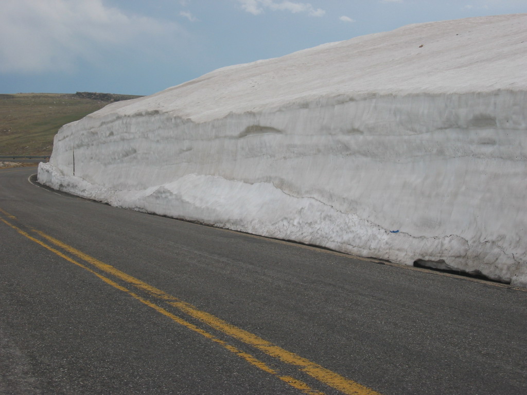
. [ The snowfields become heavy and show steep banks where snowplows have been. ]
ZMM Route, Second Major Snow Field, Beartooth Highway, WY. (GPS 44.9741 -109.45795 10,679ft )
About a 1/2 mile back, before I got to the location of The /\ Above /\ Photo, I had gone around a left turn switchback and started climbing along a North Facing Slope.
What's The Reasons For Deep Snow Remaining Here In Mid June? =>
.The answer is the same to that given in the Previous Photo => Apparently, local snow drop-out from the Snow Laden Strong NW Wind coming up the adjacent steep slopes. This is like that ski slope, where there is an up sweep updraft from which the snow drops out.
. Somehow this is in a "back-current area shielded from wind.
. This is like the action at the previously seen ski slope. Somehow this is in a "back-current area shielded from wind, combined with a North facing slope which is turned away from melting heat of the sun.
In /\ Above /\ Photo At Left, Notice The Grass Covered Mountain Incline And Rock Out-Crop.
. This area is actually getting close to the top of a knoll, which Topo Maps & The ZMM Narrator calls The Summit, at elevation 10,982 feet.
.By comparison => The topo map shows that the road, just after the ski lift area, also maxes-out at a benchmark(BM = 10,938ft).
*************************
(Photo = 106-0623 ...... ZMM Page = 110 ...... WayPt = 142`|w| 10,679ft)