The Camera Location For => This View Of A V-Cut Valley Happens Be Where Road Goes By A Melt Water Stream Called Quad Creek
.From Red Lodge, On The Second Tier Up, We Can See Two More Tiers.
.. and [we] have soon traveled to the first of many switchback turns across the face of the mountain
Beartooth Highway, At the Third Switchback After Red Lodge, MT.
.
.My paper research notes say: Altitude 7964 -- My traveling here, as is true for traveling my life -- this moment -- I will not be back ever again -- this moment -- these moments -- way way down [I can see]
the U-shape valley and stream.
..****************..
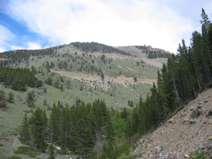
.In the /\ Above /\ Photo you can see the continuing road, next tier up, which continues to where it reappears at the upper left edge of The photo.
Now look carefully higher up. Thats the highway on the way back after going around the mountain, out of view at the left, completing a switchback (seen in forthcoming photos), and then coming back around the mountain again and continuing as the gray line which continues off the photo to the right.
By This Time I Have Lost Track Of The Number Of Tiers And Switchbacks.
.But as I write these Photo Captions (you are reading right now), this is NOT a problem, => This is because I use an excellent the Computer Application called GoogleEarth, into which I have imported the GPS Coordinates, for each of my 2002 Photos.
.With GoogleEarth, I can view each of my WayPoints added to an excellent Satellite View of The Beartooth Highway, climbing the Switchbacks on these mountains.
.This is a really good way to be sure where each of my photos exactly fit into the Tiers and Switchbacks.
.An especially nice feature => The GoogleEarth Display somewhat reveals the 3D .of these mountains, by manually doing a Clk&Drag of the landscape.
..****************..
The Next Photo shows, very likely, where the ZMM Narrators above passage must have happened.
*************************
(Photo = 106-0608 ...... ZMM Page = 109 ...... WayPt = 131w)