Just Before Crossing The River At Myers Bridge =>
. A Nature Preserve Adjacent To The Yellowstone River.
Beginning Chapter 10:
. Outside in the valley again the sky is still limited by the bluffs on either side of the river, but they are closer together and closer to us than they were this morning. The valley is narrowing as we move toward the rivers source.
Were also at a kind of beginning point in the things Im discussing at which one can at last start to talk about Phædrus break from the mainstream of rational thought in pursuit of the ghost of rationality itself.
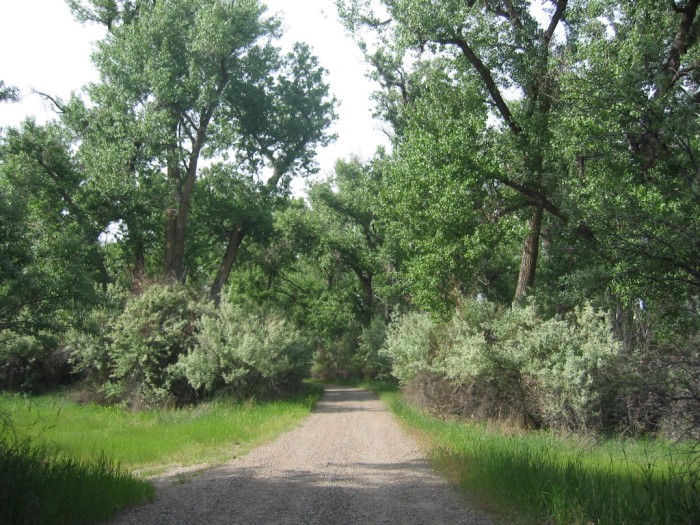
Southeast River Side, ~500 Foot SE Of Myers' Bridge, Myers, MT. The entrance to this Nature Preserve is a gravel driveway to the NE. As shown in a Satellite View, you drive over a Cattle Guard, and on by some buildings on the right, and continue to the river edge, where there might be a boat landing.
.An Internet Sites for Montana Fishing says this is called Myers Bridge Fishing Access Site. The Site Visit.com, says Myers Bridge Fishing Access Site is on the Yellowstone River. Primitive campsite camping. There is a boat launch. Open all season and a maximum stay of seven days.
.Although there were was no mosquito problem at nearby Myers Bridge, the beasts in this nature preserve fit the Narrators descriptions at their camping experience near Lemon, ND.
.These highly persistent dive-bombers will carry you away!! No amount of swatting or running will yield relief.
.In typing up this Photo Caption, I remember that there had been recent flooding, from rain, and now realize, this preserve & river access is likely free of this flood of beasts on wing, most times of the year.
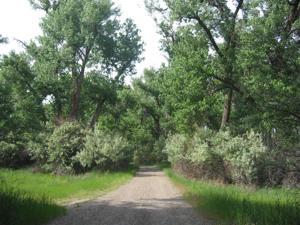
.To See my 2nd Photo Taken Here, showing flowering bush both sides of driveway, Click Herr.
.**************
DATE-LINE: July 28, 2021. by Henry Gurr.
MONTANA ZMM ROUTE RESEARCH PART TWO: As Seen By HSG in 2002.)
.Back in July 2002, after I finished my ZMM Route Research in Hysham, MT, I wanted to find & continue toward Laurel, MT, on road(s) likely used by Robert Pirsig in 1968. .
.At the time, I thought I was following the Old Rt 10: But somehow a wrong turn took me away from the any hint of Old Rt 10, and unfortunately followed Rt-311 = Myers Road, which went over the Yellowstone River, onto a maze of back country dirt roads
.These formed a labyrinth of scattered road forks, in every which-a-way- nonsense. In sum, this turned into a long and anxious detour, and away from any recognizable road on my mapl! Even my GPS, was limited help!!!
.As you can see in 4) below (on a Satellite Map), the trace of Myers Road, is clear & easy to follow. However, back in July 2002, driving on the dirt road was anything but clear. I just kept going and following the largest most traveled track, and finally last gasp, tired, hot, and about out of gas, got back over the Yellowstone River, and Intersection with I-94 at Custer, MT.
.And now (July 28, 2021) as I type up this paragraph, I clearly remember => I My frantic, near panic, attempts to get back to civilization, and find a gas station, before car ran out of gas!!.
.But In Retrospect, For The Adventurous ZMM Traveler, Myers Road, Qualifies As A ZMM Quality Road,
.Once you have the proper Maps, and Enough Gas, give it a try! For ~15 miles youll see the REAL Back Country Montana!
.This is a valid alternative to US-10 from Hysham, MT, to Custer, MT. AND for sure far higher ZMM Quality than I-94!
.Also you will go by where I found my first view of actual "Yellow Stone (my WayPt = 112), which you will see the THIRD Photo Next.
.**************
This Satellite View Was Discussed In Previous Photo:
.Here You Can Continue To Study This Satellite View To see The Above Roads AND The Continued Discussion Below. Right Click & Select New Tab: Satellite View Centered Red Pinpoint ,on Myers Bridge over Yellowstone River, ~6 Miles SW of Hysham, MT.
AFTER This Satellite View Comes Up, Zoom & ClickDrag, So You Can See =>
..1) Center Screen At Red Pinpoint => Myers Bridge over Yellowstone River.This is shown Next 2 Photos
..2) ~500 Foot SE Of Myers' Bridge, see a gravel driveway: This is the entrance to a Nature Preserve: As shown in Satellite View, you drive over a Cattle Guard, and on by some buildings on the right, and continue to the river edge, where there might be a boat landing.
.An Internet Sites for Montana Fishing says this is called Myers Bridge Fishing Access Site..
..3) Faintly Upper Right See => Hysham, MT, the small town much discussed previous photos:
Look close => As you can see, this small town is about 6 miles (somewhat NE) from Myers Bridge (Red Pinpoint), following Rt-311 = Myers Road,
..4) NW Of Myers' Bridge, see Myers Road = Rt-311. Zoom & ClickDrag, So You Can See Myers Road, go North, then West, Then South and then keep following it, trending SW somewhat parallel to the Yellowstone River, some 15 miles, to then cross back over the Yellowstone River, and Intersection with I-94 at Custer, MT.
*************************
(Photo = 105 0550 ...... ZMM Page = 098 ...... WayPt = 109i
Photo at WayPt = 108w)