Low ground views Missouri River Valley & Railroad.
[We]
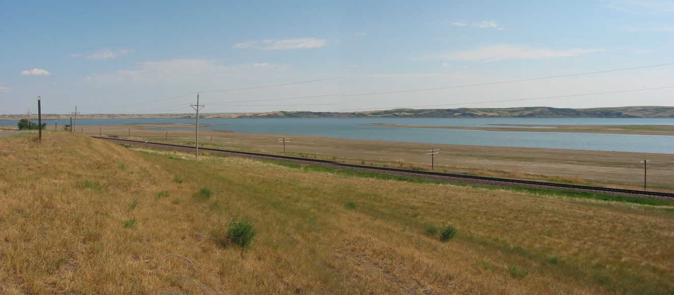
and then there it is, at the bottom of the hill, the Missouri. All that moving water is strange, banked by grass hills that hardly get any water at all. I turn around and glance at Chris but he doesnt seem to be particularly interested in it."
After passing through West Edge of Mobridge, SD., both Rt12 and Railroad seen here, run North along the river some 2 miles beyond Mobridge town limit. Then Rt12 and the RR approach their respective bridges and cross the Missouri as shown in the next photo. As may be seen from a highway map, the towns in the Indian Reservations are mostly along the major through-highways. For this reason, as the ZMM travelers continue through the next 14 towns on Rt12, they can often see the continuation of these RR tracks. Most of these towns have a grain elevator, the evident connecting points for the RR.
************************************
(Photo = 103-0381c ...... ZMM Page = 044 ...... WayPt = 057`|w|' 1660ft)
