Looking South, A View OF Big Cottonwood Trees In Distance.
"The house and water tower have gone by and then a small drainage ditch appears and a crossroad leading off to the horizon. Yesthats right, I think. Thats exactly right.
.... "Theyre way ahead of us!" Chris hollers. "Speed up!"
.
I turn my head from side to side. .. "Not safe!"
.... "Theyre gone!"
.... "Theyll wait."
.... "Speed up!"
.... "No." I shake my head. Its just a feeling. On a cycle you trust them and we stay at fifty-five. .. The first rain begins now but up ahead I see the lights of a town . . . .
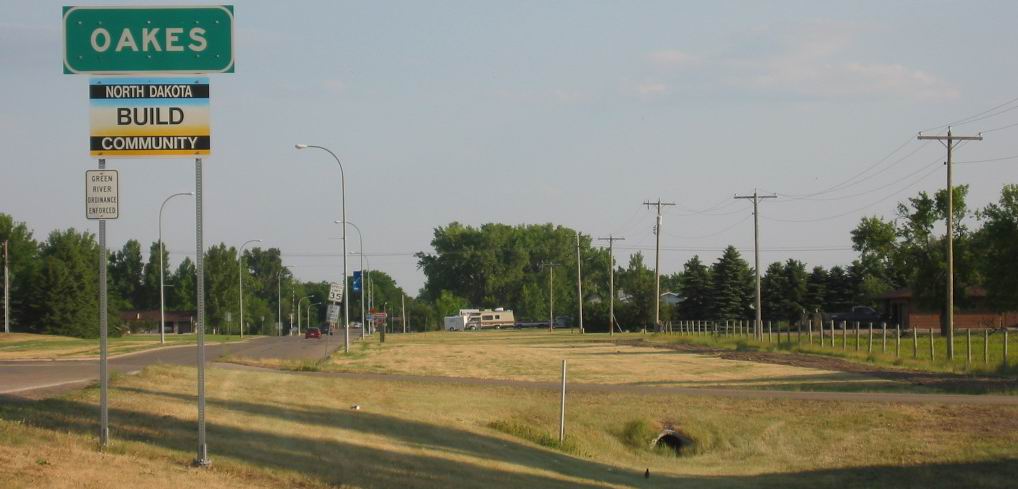
Ahead, Oakes, ND. Ever since Breckenridge, MN, The ZMM Route travels directly West on Major Highway, ND. Rt-13, which is a "section line" road. This road went by Milnor, ND (Where Picnic Canopy Rest Stop was as discussed previous photo), and continued to (and ended on), ND Rt-1 which is a North-South "section line" road. The ZMM Route here turns onto Rt-1, South to Oakes, ND. This is shown in /\ Above /\ Photo.
..Note big Cottonwood trees in distance at center of photo. These trees were the (likely) waiting place for John and Sylvia. The trees are beside a restaurant and large parking lot.
*************************
(Photo = 103-0318c ...... ZMM Page = 026 ...... WayPt = 031`|f|' 1313ft)
