ContFmPreviousPhoto:
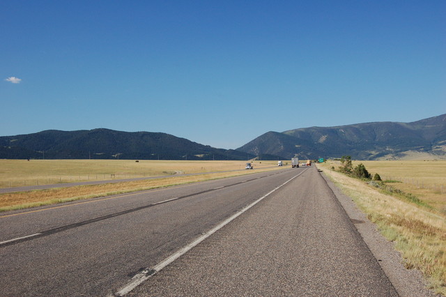
~9:41 am Thursday, 1 Aug, An I-90 View Of Bozeman Pass, in Mountain Range Ahead, Livingston, MT.
.To Prepare Your Mind For Landscape of Next ~SIXTEEN Bozeman, MT Area, Photos, You May Wish To Quickly Scan Over THESE LARGER GEOLOGY & GEOGRAPHIC LESSON, EXPLAINED WITH HELP OF => A Google Earth Satellite View: Of Southern Half of Montana, =>
A) YOUR FIRST VIEWING CHOICE => Go Back & Study The SEVENTH Photo of this Album. OR
B) ALTERNATIVE VIEWING CHOICE => Bring-Up In A NEW Browser, The Same LESSON, Which Is =>.Click Here For A Special Explanation Photo Page.
.THIS SPECIAL EXPLANATION PAGE HAS THREE PARTS =>
PART ONE: An Explanation of Roads and Map Type Symbols On Henry Gurrs Google Earth Satellite View Of Southern Half Of Montana:
PART TWO: As Relates To The ZMM Narrators Travel Descriptions In Last Half of Chapter 7: Here Are Some Elevation & Vegetation Facts, To Keep In Mind:
PART THREE: An Explanation Of Montanas Multi-Colored Layers Of Volcanic Dust & Mountain Rock, Giving Evidence Of Very Long History Of Eruptions, Likely Through Eons Of Time, From Yellowstone National Park, Massive Volcanic Eruptions
Events In Bozeman MT Continued Next ~SIXTEEN Photos.
Photo File =. DSC_0204
. Originally Posted May 2019, Revised 1 October 2020.
| Upload Date |
: |
Thu 11 Jun 2020 08:16:20 PM EDT |