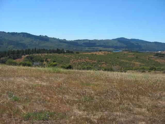
A View Looking Northwest, Over the Southern End Of the St. Andreas Lakes. West of Palo Alto, CA.
Just off the Freeway Is This View Point Park In Foreground.
... After Negotiating Through The Presidio In Down Town San Francisco, I Drove the Freeway South To Near Stanford University.
The St. Andreas Lakes, pictured above, are IN the rightly notorious St. Andreas Earthquake Fault Zone.
There is a very interesting Earth Quake Park (Los Trancos Earthquake Trail), that follows the St Andreas Fault for 1.5 mile and has many interesting illustrations of what happens along a earthquake "fault". Coming from Stanford University, I believe you take Page Mill Road and go West. To be sure check a good local map, and look for San Andreas Fault Trail at Los Trancos Open Space Preserve in the Santa Cruz Mountains just west of Palo Alto.)
As I remember, the park is up near the highest stretches of this road. There is a second park further South that has a continuation of this trail, and both are well worth the walking.
*************************
The Following Are Top Results From A Google Search For =>
San Andreas Fault Earthquake Trail.
A) Click Here For => Los Trancos Open Space Preserve:
General Information, Walking Trail Information, Including The San Andreas Fault Earthquake Trail. Plus Three Photos
B) Click Here For => Point Reyes National Seashore: Walk the Earthquake Trail:
General Information About Trails In Point Reyes Area, Walking Trail Information, Including The San Andreas Fault Earthquake Trail. Plus One Photo.
C) Click Here For A Three Page.pdf => A Self-Guided Earthquake Tour:
Has Full Information About Trails In The San Andreas Fault Earthquake Trail. Plus s Nine Photos & Earthquake Fault Diagrams..
D) Click Here For => All Trails WebPage => Los Trancos Preserve, San Andreas Fault Trail,
General Information About The San Andreas Fault Earthquake Trail. Plus, A Click On the TOP Photo, will open a photo viewer, showing over 50 good photos.
E) Click Here For => All Trails WebPage => Point Reyes National Seashorel, Earthquake Trail, (198).
General Information About The Earthquake Trail. Plus, A Click On the TOP Photo, will open a photo viewer, showing over 60 good photos.
F) Click Here For => Hiking Project WebPage => San Andreas Fault Trail, A Trail Amongst Examples Of Earthquake Activity Along The San Andreas Fault, by David Hitchcock
General Description About The San Andreas Fault Earthquake Trail. Plus 5 Photos. ALSO A VERY GOOD MAP, Which Can Be Zoom In Or ClkDrag To See Parts Off Screen.
G) Click Here For => Being There [On Californias St Andreas Fauld Zone] by Jay Cooke.
.A Full Explanation of California's Earthquake Fault Zone.
H) A 13 Page.pdf About => The Earthquake Trail, Sanborn County Park. Plus 5 photos & 4 Detailed Fault Zone Action Color Diagrams.
Photo /\ Above /\ Taken Just off the Freeway, View Point Park, Near Palo Alto, CA.
*************************
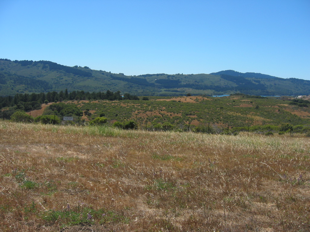
(Photo = 118-1827 IMG )