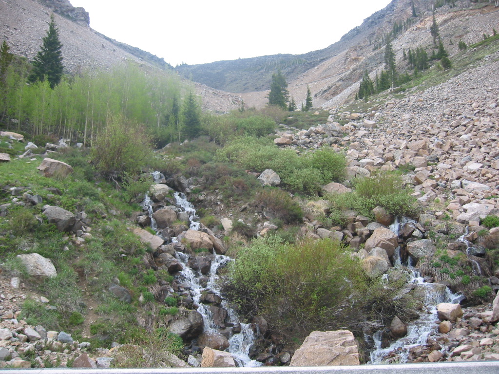
Lower Center, Growing In A Snow Melt-Water Stream, Is Seen A Small White Flowering Shrub.
Larger Versions Of This White Flowering Shrub Are Also Seen Further Up, Beyond Large Grey & White Rock. .
Approximately June 21, 2002..
. Soon stunted pines disappear entirely and were in alpine meadows. Theres not a tree anywhere, only grass everywhere
Weve reached the high country, above the timberline.
THE ZMM NARRATIVE will soon be **IN** THE HIGH COUNTRY AND **AT** THE SOURCE OF => BOTH =>
.1) The Melt Water of Rock Creek AND
.2) The Source Of Western Philosophy,
*************************
On The Beartooth Highway, after two switchbacks, ~14 Miles South of Red Lodge, MT.
*************************
TO HELP THE READER BETTER APPRCIATE THE UPCOMING HIGH COUNTRY FLOWERS, THE FOLLOWING IS A COMPLETE DISCUSSION OF BOTH =>
The ZMM Narrators, Physical Landscape AND Mental-Philosophic Landscape.
Ever Since Laurel, MT, With The ZMM Narrator, we Have Been Moving Up & Towards The ZMM. Narrators High Country
. where in ZMM we learn (on the last half of ZMM page 110 plus 1/2 of page 111), :of the ZMM Narrators High Country PHYSICAL Landscape.
HERE EXPECALLY REALIZE THAT => The ZMM Narrator is Poetically (Metaphoroc Bridge Connections), are getting us ready, by analogy, for the High Country of the MIND. At which point (one page after the above ZMM Passage), This the ZMM Narrator takes up the discussion of his own version of The Historical Development of Western Philosophy:
This Is The Narrators Poetic (Metaphoroc Bridge Connection),Way Of
Introducing Us To His Next 9 Pages Of His Chautauqua On Western Philosophy.
. These lectures cover the Narrators version of how our 20th Century thinking came to be as it is, as well as related rationality/scientific developments.
.In this discussion
The motorcycle is used as a concrete illustration of a priori concepts..
. The ZMM Narrator, also shows the ugly consequences of these modes of thinking in our culture.
******************
The ZMM Narrative Is Building To A Climax, As We Move Towards The Narrators High Country Summit.
..Below Is A Brief Synopsis Of The Road Ahead, And Sights Along The Way.
After the Beartooth Highway (US-212) has completed six switchbacks, we have climbed to the higher somewhat level area of the Beartooth Plateau: Here we see in the distance the cut of Rock Creek Canyon (Narrators gorge). And, as we travel further South, we will be moving further away from Rock Creek Canyon.
. But, along US-212, we will see Rock Creek Canyon again in the distance, while overlooking The Twin Lakes & The Beartooth Basin Summer Ski Area.
.After this, the highway takes us Southeast and away from Rock Creek Canyon.
. Finally, the road swings West by Northwest to a kind of Land-Bridge Formation, which in this Photo Album is called. The Hogback: In Blue Link below, is a Fully Illustrated & Extensive Interlude & Explanation of => a) Aerial Photo, b) Satellite View, and c) Topographical Map => So you can see that this Hogback Formation is very important for the Beartooth Plateau, in that it is the ONLY practical way for Humans to move (highways or hunters, or prospectors, or otherwise), North-South, between Two Otherwise Separated, Major, High Altitude Land Surfaces.
To Learn About The Hogback Formation & See A Dramatic Photo => Right Click, And Open New Tab. And AFTER a page of 18 small photos comes up, Scroll Down To BELOW the 12th Small Photo (And Read) at => Here STARTS => An Interlude & Explanation,
. Moreover, In Above Blue Link, You Will See How VERY Steep is the slope on the sides of this Hogback: This steep slope & sharp top edge, Act Upon Snow Carrying Overflowing Winter Winds coming Eastward along connecting valleys, from the relatively close Rock Creek Canyon => Here creating an aerodynamic up-sweep + swirl action, that nicely drops deep layers of snow hereabouts => One such dramatic area of really deep snow area, of which the ZMM Narrator says The banks become four feet high, then six feet, then twelve feet high. We move through twin walls, almost a tunnel of snow.
Similar geographic features also cause deep snow, at the Beartooth Highways Summer Ski Area, located further Northeast along the Beartooth Highway.
*************************
(Photo = 106-0611_IMG.JPG ...... ZMM Page = 110 ...... WayPt =133 Appx 9554ft)
