Monday, July 22, 2024:
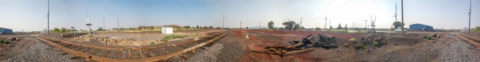
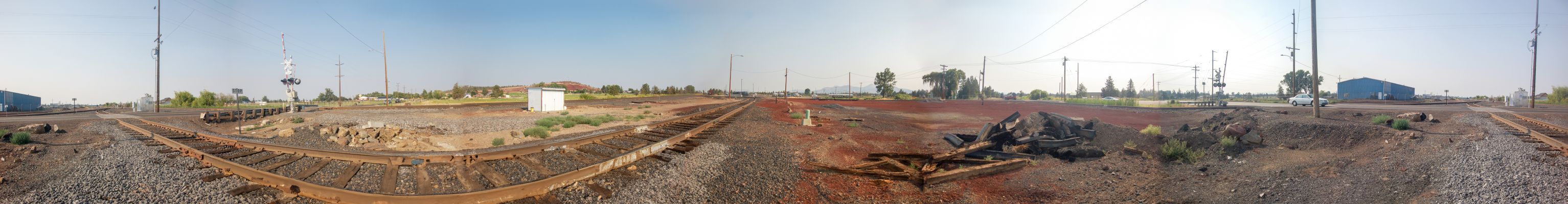
The Left End Of This Panorama, Shows Rt-370 (ONeil Highway) Heading South, Because The Road Here, .Has Suddenly Turned Left.
Scrolling Right, A Petroleum Distribution Center Is Seen. In 1968 Author Robert Pirsig May Have Stopped Here To Inquire About Gas For His Cycle.
The ZMM Narrator Says =>
I fill up the tank at the corner
SO YOU WILL HAVE NEEDED INFORMATION FOR NEXT 2 PHOTOS, PLEASE REMEMBER =>
THE PREVIOUS PHOTO EXPLAINED THAT =>
In This Satellite View Of The Valley Of The Crooked River, And Looking Closely At The Red Pinpoint, You Could See A Road, Which Is Rt-370 (ONeil Highway): This Road Connects US-26 In Prineville, Oregon > TO > US-97 (Seen Lower Right, Upper Left Of Full Circle Farms).
AND AS STATED THERE PREVIOUSLY
..As You Will Learn (In Forthcoming Photos), Rt-370 (ONeil Highway), MUST BE The Road Which Author Robert Pirsig, Would Have Followed In 1968: This Is The Only Effective & ZMM Quality Way To Go From US-26 In Prineville, Oregon, > TO > To A Place That Author Robert Pirsig Called Prineville Junction. This Place, In Reality Is Not A Town, But MERELY & ONLY, The Location Of A Junction Of The Prineville Railroad, To The Main North-South Santa Fe Railroad.
File = DSC 0540 1Sb547 PhotoSetOfHGUpLdJan142025PrinevilleJn~!stPirsigStop Resize3067x400