|
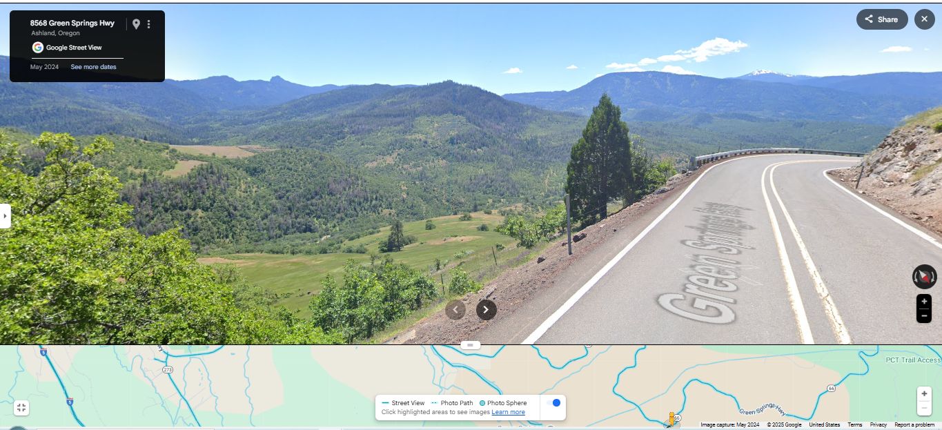
Scenery Along the Green Springs Highway OR-66. After Passing Through The Previously Mentioned Low Mountains, The Road Has Been Gradually Coming Down In Elevation,
And Here, The Road Starts A Steeper Descent Down To Schoolhouse Creek Valley Which You See At Left.
You May Go To The Above Google Street View, And Conduct Your OWN ClickDrag Exploration (Plus Zoom In For More Detail) => Of The ZMM Narrators (Author Robert Pirsigs) => A Valley That Becomes More Exquisite As We [Rapidly] Descend. . Click Here. .
ZMM Page ~317
File = GSV 8568GnSpringsHy TopoZoneSzSouthOfGrnSpringsMt OverLookSchoolhouseCreek
|
|||||
|
|
RSS |