Is This The Site Of The Enormous, High-Ceilinged Old Place?
;."We retreat from the parked cycles into an enormous, high-ceilinged old place. To go with the beer this time I order every kind of snack theyve got, and we have a late lunch on peanuts, popcorn, pretzels, potato chips, dried anchovies, dried smoked fish of some other kind with a lot of fine little bones in it, Slim Jims, Long Johns, pepperoni, Fritos, Beer Nuts, ham-sausage spread, fried pork rind and some sesame crackers with an extra taste Im unable to identify. .. Sylvia says, "Im still feeling weak." She somehow thought that cardboard box was our motorcycle rolling over and over again on the highway.
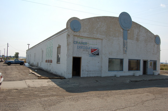
Hysham, MT. Supposing this town to be the correct town for the above passage, this old building, now converted into a shop for an irrigation company, could have been the location of their late lunch in an enormous, high-ceilinged old place.
.The Narrator, during the two years he was an MSU Professor at Bozeman, must have traveled this highway regularly. He would have known the good places to stop. This fact, plus the remaining super hi-rate heart-throb of his near accident would have riveted into memory all of the surrounding scenery. (Continued next)
.**************
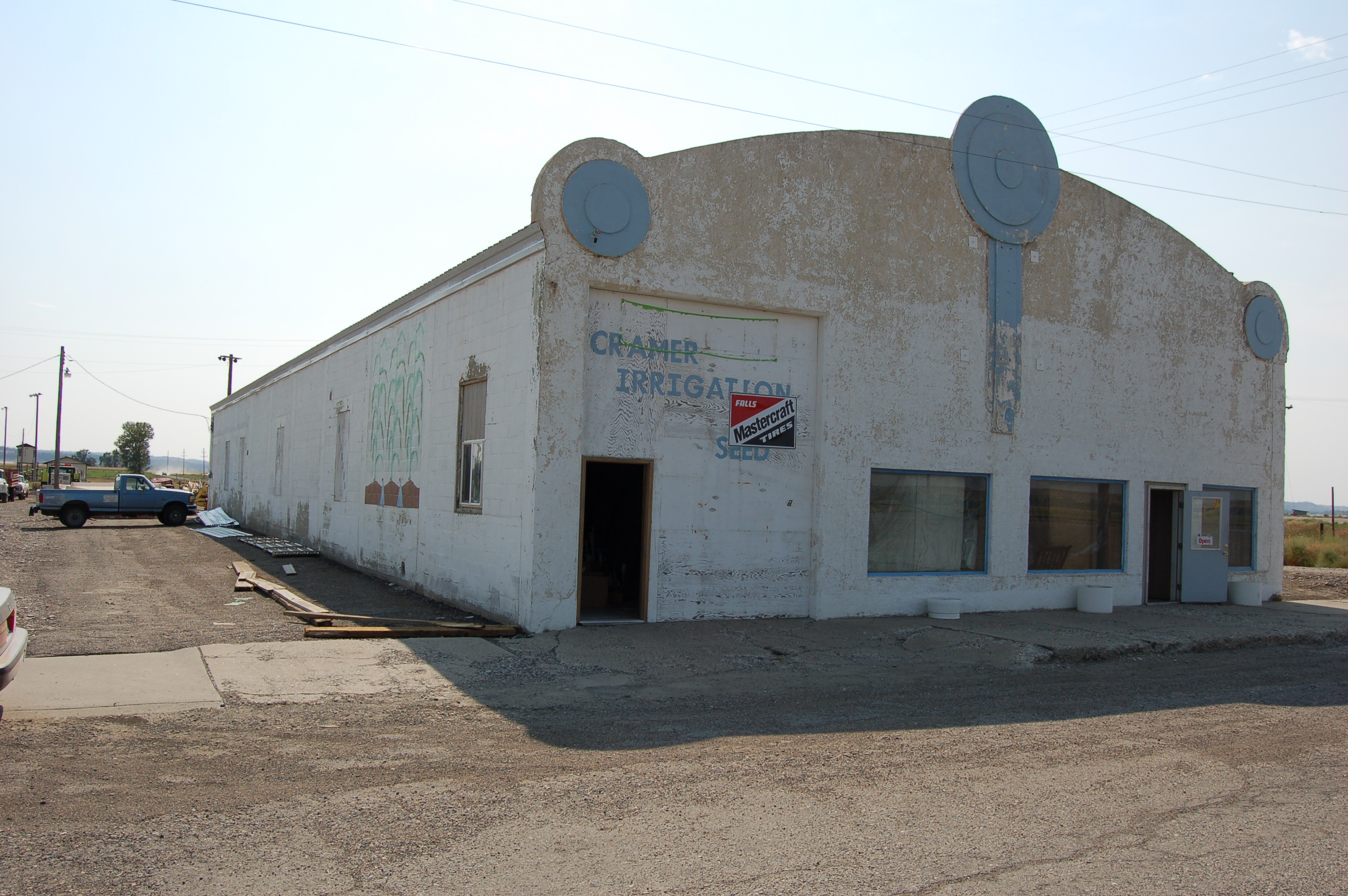
CONTINUED FROM PREVIOUS PHOTO =>
Going West From Miles City, MT. To Laurel. MT:
..Where Are The Non-Interstate Highways?
..A) Trending West Southwest, From Miles City MT, The Non-Interstate Roads (Paralleling I-94) follow the Yellowstone Valley right across Montana. , South Of The River, But Switch To North Side At Billings.
..B) You will need to study Right Click & Select New Tab: Satellite View Centered Red Pinpoint ,on Myers Bridge over Yellowstone River, SW of Hysham, MT. AFTER this Satellite View Comes up, you will see (faintly) Upper Right Hysham: Look close: As you can see, this small town is some 6 miles (somewhat NE) from Myers Bridge, following Rt-311 (Myers Road),..
On Satellite View Map (Blue Link Above), ClickDrag (or Zoom-In), So You Can Find The Following Highways
..1) Southwest of Miles City, MT, along I-94, The ZMM Traveler can take the Exit at Hathaway (on to Graveyard Creek Road), which will lead to Old US-10 ~12 miles to & thru Rosebud, MT. This Old US 10 would be likely The ZMM Narrators choice thru to Hysham, MT, But some places merely a Frontage Road to I-94, for example at Forsyth, MT. To find this road here, means =>
a) Early travel research to find the needed stretches of pavement. OR
b) When traveling, use all resources (GPS, Road Atlas Map, Alert Mind, All Of Your Well Honed Navigation Skills, Second by Second) to find correct roads.
..2) Going West from Forsyth, MT, the Frontage Road, turns into Old US-10, and it is clear on Road Maps (or Satellite View), how to follow it, due West through Sanders, MT, to Hysham, MT
..3) Some 6 miles East of Hysham, MT, Old US-10 is named Rt-311 which goes thru Hysham, MT, and beyond for 3.5 miles where Rt-311, turns 45 deg to the West, but the road straight ahead is Old US-10, and is so named all the way thru town of Big Horn, MT, continues over Big Horn River Bridge, continues on by Intersection of Rt-47 & I-94 Interchange, and continues West then NW to where it ends in an apparent new encroach relocation of the Yellowstone River!
..3) At the Intersection of Rt-47 => The ZMM Traveler should go West on I-94, and exit at the town of Custer, MT, where will see Old US-10, there named Custer Frontage Road: And should follow this name all the way through to 2 miles West of the town of Pompys Pillar, where-upon the road with this name ends, at an I-94 Interchange, which also has a Right Turn, onto Old US-10, which is there named Rt-312.
((SIDE NOTE Signs at this Interchange, should tell you how to get to the famous Lewis & Clark => Pompeys Pillar National Monument, which is 0.6 miles Northwest. A shade tree just North of road there, happens to be my WayPt = 115, and this tree, with turn off pavement, is seen in Satellite View, Blue Link Above.))
..3) Continuing South Southwest (up river), Old US-10 there named Rt-312, will cross to the North side of the Yellowstone River, and continue to the center of Billings, MT, where it appears to merge straight forward into US-87 Southwest then South, only to end near Montana Ave, which in turn, might be Old US-10.
..4) Here the ZMM Traveler should get onto West-going, what is now I-90, and continue to Exit for 72nd Street W, where North of I-90, will see a perimeter road, which is Old US-10, and signs should say so.
..5) Within a mile West of 72nd Street W, this Old US-10, is also called E. Main Street, and continuing West Southwest, to center of Laurel, MT, will 45 deg turn to the West, and here be named again Old US-10.
..6) Laurel, MT is where the Narrator, Chris and the Sutherlands stayed overnight, and the Hurzler Hotel, just one block North of Old US-10. And the next morning followed US-212, under the Railroad Tracks, to Red Lodge, MT.
*************************
(Photo = Summer2006 0350 ...... ZMM Page = 097 ...... WayPt = 107w)