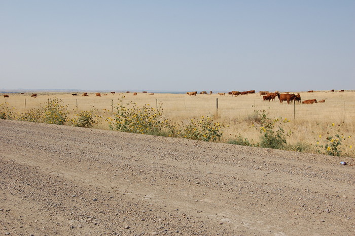
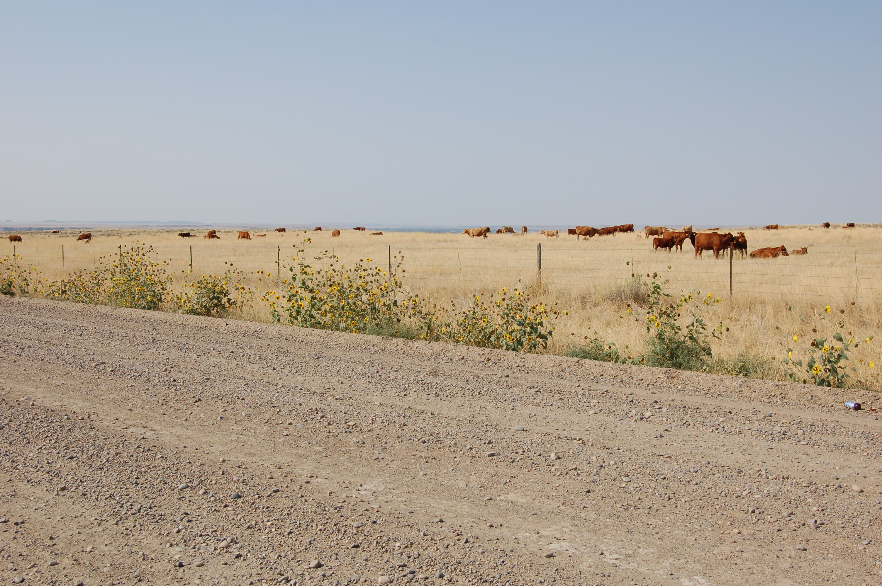
An Alternate Road West From Miles City. Although the Road On the North Side of the Yellowstone River Is Fairly Good Gravel BUT Has Treacherous Huge Deep Center of Road Crash-Whump-Holes!!
....Despite This => It Is a ZMM Narrator's Description Of High-Value Travel = A Quality Road!
.This Road Allows Two Dramatic River-Crossing Views and Has Other Sights, Such As This Large Cattle Herd. NONE of These Are Seen From I-94, Along The South Of The River.
(ZMM page 005)
."We have learned how to spot the good ones on a map, for example. If the line wiggles, that's good. That means hills. If it appears to be the main route from a town to a city, that's bad. The best ones always connect nowhere with nowhere and have an alternate that gets you there quicker." AND (page 003) "It is a kind of nowhere, famous for nothing at all and has an appeal because of just that."
About 6 Mi West of Miles City, MT. (Continued fm previous) In Summer 06, I had the chance to travel this stretch along the North-Side-Of-River.
....I took N 7th Street, Rt59, which has a great view of the Yellowstone River, went to the top of the bluff, and turned on the first major gravel road left. Mapquest shows this as Rt 158, Scheffield Road. (Later Hy 446.) This road goes thru the towns of Sheffield and Thurlow. At Cartersville a left turn will return you over the river to I-94.
.This road, on my map, is an unlabeled, hard to discern light-colored wiggly grey line. It fits the ZMM Narrator's Description Of High-Value Travel: (page 004) " ...when you make that shift in emphasis the whole approach changes. Twisting hilly roads are long in terms of seconds but are much more enjoyable on a cycle where you bank into turns and don't get swung from side to side in any compartment. Roads with little traffic are more enjoyable, as well as safer. "
************************************
(Photo = Summer2006 0295 ...... ZMM Page = 092 ...... WayPt = 104k ~2680ft)