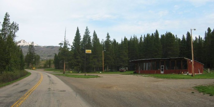
It's Hard To Believe That We Must Continue To Drop In Elevation To Reach the Center of Yellowstone National Park.
. The road ahead is foggy. It seems like a cloud has drifted into the valley, which isnt really a valley at all but more of a mountain pass.
. Cooke City, MT..
Readers Need To Know There Are Some Pretty Serious Geological Reasons For =>
.From Here Its Downhill => Down Into Yellowstone National Park (YNP) !
.I suggest you continuously watch the WayPt = elevation numbers given at bottom of each photo. You will see that we will continue to go to lower elevations.
Although this may seem strange, it illustrates that Yellowstone National Park Is Actually in a LOW area (and big Yellowstone Lake), that is surrounded on all sides by a ring of higher mountains! ZMM
.Recall that YNP has gobs of geysers, hot springs, hot mud pools, etc. This thermal and volcanic activity is associated with an underlying geological "hot spot". This Hot Spot, eons ago, was sufficiently severe to have pushed WAY UP, a whole area much, much larger than YNP itself. This "push-up", perhaps ten times the size of YNP, was perhaps SEVERAL MILES HIGHER than we see today.
.Subsequent to this "push-up", the "hot spot" receded, and the center of the push-up, now Yellowstone Park, settled back down, lower than the original. This makes the low "Yellowstone Caldera" seen today. Even low enough to hold Yellowstone Lake!.
..****************..
. Excerpt from Wikipedia => The Yellowstone Caldera is a volcanic caldera and supervolcano in Yellowstone National Park.
At least a dozen of these eruptions were so massive that they are classified as supereruptions. Volcanic eruptions sometimes empty their stores of magma so swiftly that the overlying land collapses into the emptied magma chamber, forming a geographic depression called a caldera.
((The topic of "Yellowstone Caldera" will be continued with longer excerpt, at the SIXTH NEXT Photo )
..****************..
.The /\ Above /\ Photo is from several miles East of Cooke City, MT. A better Photo that fits the ZMM passage location is needed.. Snow covered mountains? Or maybe a close up of the Beartooth? Does anyone know of good photos? Please send email.
*************************
(Photo = 106-0660c ...... ZMM Page = 122 ...... WayPt = 157i 7573ft. Photo at = 155`|w|' 8062ft)
