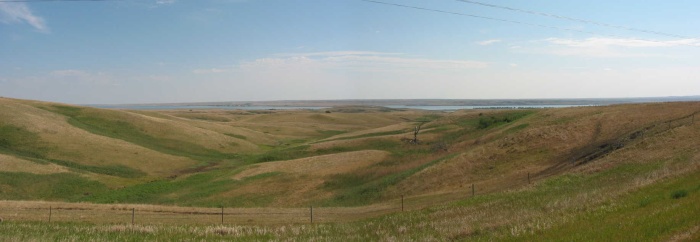
All That Water, Yet the Grass Is Color of Dry Straw. Missouri River Valley, SD.. [No applicable ZMM passage.]
Missouri River 3Mi East of Mobridge, SD. The River as seen from the high ground along Rt12. Opposite the Missouri River, in this Southwest view, is the Cheyenne River Indian Reservation. And to the Northwest, again opposite the Missouri River, is the Standing Rock Indian Reservation. According to my Rand-McNally Map, Mobridge is the largest town for hundreds of miles in any direction! Last chance for any repairs and supplies! The lack of civilization, is the cause of the narrators expressed worries (several pages later) about how they will manage in the event of serious mechanical breakdowns of their cycles. Any person following the ZMM Route, should exercise similar precautions.
************************************
(Photo = 103-0377s ...... ZMM Page = 044 ...... WayPt = 055`|f|' 1900ft)