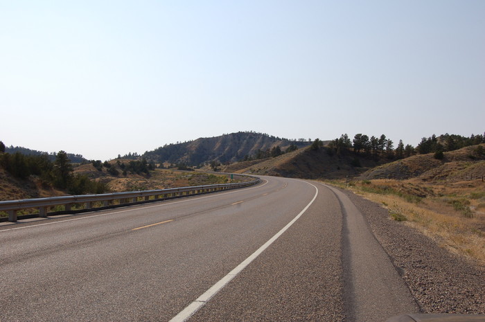
Then the Road Continues To Rise and As the Road Curves, They Enter the Gap Ahead.
."Now the road meanders a little, now it cuts back away from the direction in which we should be going, then returns. Soon it rises a little and then rises some more. We are moving in angular directions into narrow devils gaps, ......
. All the curves mentioned (and seen) in the previous photo and this one, are also readily seen on a road map In this photo, the road passes between cliffs ahead. Is this the Narrator's "narrow devils gaps?
Has the road been improved since 1968?
.At a Miles City Books, Friday Evening Amateur Hour (8 Sept 06), I happened to discuss the ZMM Route into Miles City, with a local Judge. He stated that the road had indeed been changed, and the old route is still visible. After extended study of current day Topo Maps, I can not pick up any old road beds that suggest any changes of route.
DATE-LINE: January 19, 2021. by Henry Gurr.
(ChangesSinceRobertPirsig1968Trip), Changes In US-12, As Seen By HSG in Study Of Current Day Satellite Maps.
.To the traveler,, two minor hardly noticeable changes in the path of US-12 (and by looks very old) are see seen respectively 0.8 mile East of the Powder River, MT, and 5.0 miles West of the Powder River, MT.
Although a closer more careful scan is needed for of US-12 West of the Powder River, thru to Miles City MT, my first quick scan finds => A ~1 mile old narrow twisty (possibly dirt) segment replaced by wider hi-speed paved short cut. Click Here To View. .
**************************
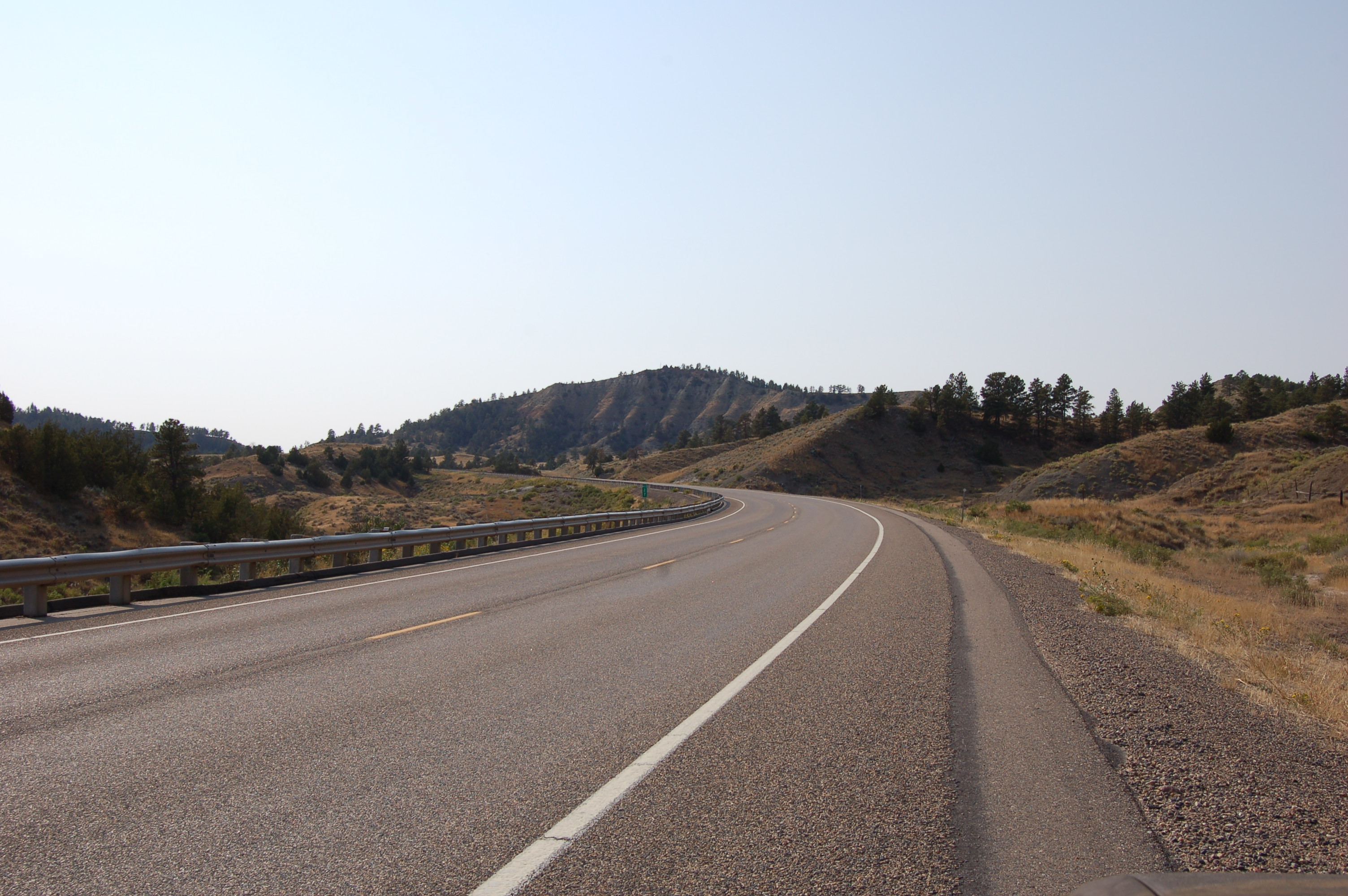
(Photo = Summer2006 0257 ...... ZMM Page = 078 ...... WayPt = 092`|m|' 2900ft)