GOOGLE EARTH SATELLITE VIEW: Eastern Montana, US12 From Elevation 2933 Ft To Elevation 3159 Ft. Plus Related Passages From Book Zen and the Art of Motorcycle Maintenance.,
In ZMM Route Segment 4
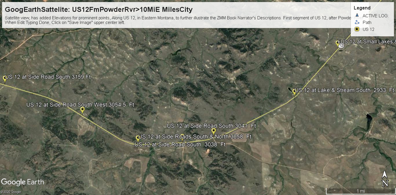
A Lot More Darker Green Areas In The Image Center, And Then This Darker Green Continuing On Both Side Of Road West.
.The above image at right, again repeats the previous image
A narrow darker green rain runoff channel, at 45 deg. , but is centered on a grouping of darker green hills, where US 20 is starting to go up again, from (2933 Ft) to (3159 Ft).
.The darker green on both sides of US 12, mean more rain and trees.
Here is what the ZMM Narrator says: =>
Some shrubs appear. Then small trees. The road goes higher still into grass, and then fenced meadows.